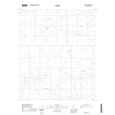
2023 Map of Box Lake
USGS Topo · Published 2023About this map
Box Lake and Horse Lake lie at the center of this Lincoln County landscape, defining the drainage patterns of a high desert region. The topography is shaped by a complex network of seasonal watercourses, most notably the winding path of Patos Creek and the southern Arroyo del Macho. These drainage features provide critical context for understanding the historic land divisions of the Public Land Survey System, including t5s r14e and t6s r16e, which remain foundational to property and ranching boundaries in this part of New Mexico.
Find a feature on this map
12 named features on this map. Tap any name to fly to it.
Don’t see what you’re looking for? This feature index may not catch every label — zoom into the map to look around manually.
Map Details
Editions of this 2023 Box Lake Map
This is the sole edition of this map. No revisions or reprints were ever made.
Other maps of this area

1934 · Capitan
USGS Topo · 1:48,000

1935 · Capitan Mountains
USGS Topo · 1:48,000

1937 · Capitan
USGS Topo · 1:62,500

1940 · Capitan Mountains
USGS Topo · 1:62,500

1955 · Roswell
USGS Topo · 1:250,000

1958 · Roswell
USGS Topo · 1:250,000

1962 · Roswell
USGS Topo · 1:250,000

1973 · Jacob Spring
USGS Topo · 1:24,000

1973 · Chupadero Mountain
USGS Topo · 1:24,000

1973 · Jicarilla Peak
USGS Topo · 1:24,000