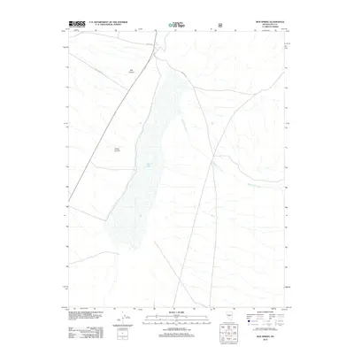
2012 Map of Box Spring
USGS Topo · Published 2012About this map
Dry Lake dominates the central basin of this Nye County desert landscape, reflecting a geological pattern of internal drainage characteristic of the Great Basin. This 2012 survey by the U.S. Geological Survey details a sparse network of forest roads and natural water sources essential for transit through this arid terrain. To the north, Box Spring serves as a critical named landmark near the junction of NFD 348 Rd and NFD 365 Rd. The surrounding topography is defined by significant drainage systems such as Willow Canyon and Mill Canyon, which feed toward the playa. Further east, the seasonal course of Wadsworth Creek illustrates the intermittent water flow that shapes the valley floor. The inclusion of Mill Canyon Rd indicates the primary corridors used for land management and exploration in this remote section of Nevada.
Find a feature on this map
8 named features on this map. Tap any name to fly to it.
Don’t see what you’re looking for? This feature index may not catch every label — zoom into the map to look around manually.
Map Details
Editions of this 2012 Box Spring Map
This is the sole edition of this map. No revisions or reprints were ever made.
Other maps of this area
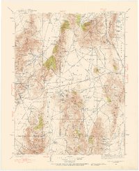
1926 · Roberts Mountains
USGS Topo · 1:250,000
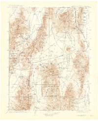
1929 · Roberts Mountains
USGS Topo · 1:250,000

1955 · Millett
USGS Topo · 1:250,000

1956 · Tonopah
USGS Topo · 1:250,000

1959 · Tonopah
USGS Topo · 1:250,000

1959 · Millett
USGS Topo · 1:250,000
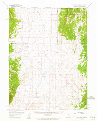
1960 · Dianas Punch Bowl
USGS Topo · 1:62,500
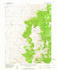
1960 · Wildcat Peak
USGS Topo · 1:62,500

1962 · Tonopah
USGS Topo · 1:250,000
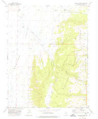
1971 · Mosquito Creek
USGS Topo · 1:24,000