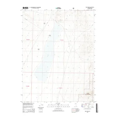
2014 Map of Box Spring
USGS Topo · Published 2014About this map
Monitor Valley dominates this high-desert landscape in central Nevada, featuring the expansive bed of Dry Lake at its center. This 2014 survey documents the rugged high-elevation terrain of Nye County, where the eastern slopes of the Toiyabe National Forest descend into the basin. The map illustrates a remote environment defined by intermittent water sources and seasonal drainage patterns, such as Wadsworth Cr and the namesake Box Spring located near the northern boundary. Transportation through this part of the Great Basin is limited to primitive routes and forest service roads, including NV-82 and Mill Canyon Rd. Named features like Mill Canyon and Willow Canyon provide essential landmarks for navigation across the varied topography of the Toiyabe Range, capturing the character of the region's wilderness and public lands management during the early 21st century.
Find a feature on this map
16 named features on this map. Tap any name to fly to it.
Don’t see what you’re looking for? This feature index may not catch every label — zoom into the map to look around manually.
Map Details
Editions of this 2014 Box Spring Map
This is the sole edition of this map. No revisions or reprints were ever made.
Other maps of this area
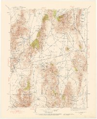
1926 · Roberts Mountains
USGS Topo · 1:250,000
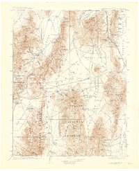
1929 · Roberts Mountains
USGS Topo · 1:250,000

1955 · Millett
USGS Topo · 1:250,000

1956 · Tonopah
USGS Topo · 1:250,000

1959 · Tonopah
USGS Topo · 1:250,000

1959 · Millett
USGS Topo · 1:250,000
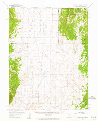
1960 · Dianas Punch Bowl
USGS Topo · 1:62,500
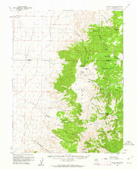
1960 · Wildcat Peak
USGS Topo · 1:62,500

1962 · Tonopah
USGS Topo · 1:250,000
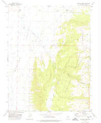
1971 · Mosquito Creek
USGS Topo · 1:24,000