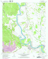
1971 Map of Boyce
USGS Topo · Published 1979About this map
The Red River creates a winding divide between Rapides and Grant parishes, anchoring a landscape shaped by both natural hydrology and industrial activity. In the town of Boyce, the convergence of the Texas and Pacific and Kansas City Southern railroads underscores its historical role as a transportation hub. To the southwest, the large industrial expanse of Lake Rodemacher and various gravel pits illustrate the mid-20th-century extraction and utility development near the parish line.
Find a feature on this map
60 named features on this map. Tap any name to fly to it.
Don’t see what you’re looking for? This feature index may not catch every label — zoom into the map to look around manually.
Map Details
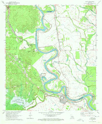
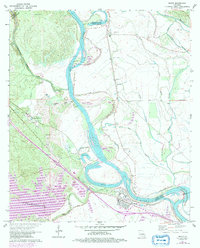
Editions of this 1971 Boyce Map
3 editions found
Other maps of this area

1932 · Boyce NE
USGS Topo · 1:31,680

1932 · Boyce SW
USGS Topo · 1:31,680

1932 · Colfax SW
USGS Topo · 1:31,680

1932 · Colfax SE
USGS Topo · 1:31,680

1936 · Colfax
USGS Topo · 1:62,500

1937 · Chopin NE
USGS Topo · 1:31,680

1937 · Aloha
USGS Topo · 1:31,680

1937 · Montgomery
USGS Topo · 1:62,500

1937 · Chopin SE
USGS Topo · 1:31,680

1941 · Boyce
USGS Topo · 1:62,500