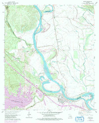
1971 Map of Boyce
USGS Topo · Published 1992About this map
The Red River cuts a wide, meandering path through this 1970s landscape, defining the boundaries between Rapides, Grant, and Natchitoches parishes. The town of Boyce serves as a central hub on the south bank, surrounded by smaller communities like Kateland, Zimmerman, and Labourne. The river's influence is evident in the extensive Levee system and the presence of numerous oxbow-shaped water bodies including Shagafoot Lake and Boyce Lake.
Find a feature on this map
53 named features on this map. Tap any name to fly to it.
Don’t see what you’re looking for? This feature index may not catch every label — zoom into the map to look around manually.
Map Details
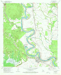
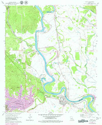
Editions of this 1971 Boyce Map
3 editions found
Other maps of this area

1932 · Boyce NE
USGS Topo · 1:31,680

1932 · Boyce SW
USGS Topo · 1:31,680

1932 · Colfax SW
USGS Topo · 1:31,680

1932 · Colfax SE
USGS Topo · 1:31,680

1936 · Colfax
USGS Topo · 1:62,500

1937 · Chopin NE
USGS Topo · 1:31,680

1937 · Aloha
USGS Topo · 1:31,680

1937 · Montgomery
USGS Topo · 1:62,500

1937 · Chopin SE
USGS Topo · 1:31,680

1941 · Boyce
USGS Topo · 1:62,500