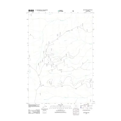
2012 Map of Boyd Ridge
USGS Topo · Published 2012About this map
Crater Ridge forms the topographic heart of this Sheridan County landscape, where the high-altitude drainage systems of the Bighorn Mountains dictate the layout of the land. The network of seasonal and perennial streams, including the north-flowing Lodge Grass Cr and the eastern-reaching Pumpkin Cr and Cub Cr, suggests a rugged environment shaped by water action and snowmelt. Human activity is confined primarily to primitive transport corridors like Marble Quarry Rd and Sheep Mountain Rd, which provide access to this remote terrain. Localized water sources such as Red Spring and Crater Spring offer critical landmarks in a region defined more by its natural hydrography, including Wagon Box Cr and Mann Cr, than by permanent settlement.
Find a feature on this map
15 named features on this map. Tap any name to fly to it.
Don’t see what you’re looking for? This feature index may not catch every label — zoom into the map to look around manually.
Map Details
Editions of this 2012 Boyd Ridge Map
This is the sole edition of this map. No revisions or reprints were ever made.
Other maps of this area
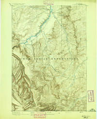
1894 · St. Xavier
USGS Topo · 1:125,000
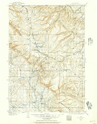
1898 · Bald Mountain
USGS Topo · 1:125,000
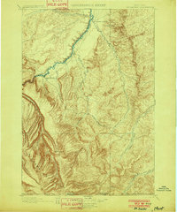
1901 · St. Xavier
USGS Topo · 1:125,000
1901 · Bald Mountain
USGS Topo · 1:125,000

1954 · Hardin
USGS Topo · 1:250,000

1955 · Sheridan
USGS Topo · 1:250,000

1957 · Hardin
USGS Topo · 1:250,000

1958 · Hardin
USGS Topo · 1:250,000

1958 · Sheridan
USGS Topo · 1:250,000
1960 · Medicine Wheel
USGS Topo · 1:24,000