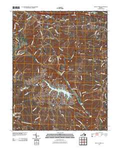
2010 Map of Boyd Tavern
USGS Topo · Published 2010About this map
The Rivanna River carves a winding path through this portion of Fluvanna County, serving as the geographic anchor for centuries of local settlement. By the early 21st century, the landscape shows a striking juxtaposition between the dense residential development surrounding Lake Monticello and the traditional rural corridors of the Virginia Piedmont. Traces of early industry and commerce are evident in place names like Union Mills and Paynes Mill, while the Boyd Tavern Post Office marks a historic crossroads near the northern boundary. The terrain is defined by numerous watercourses, including Mechunk Creek and Ballinger Creek, which feed into the Rivanna. From the specialized enclave of Camp Swannanoa to the small community at Wildwood, the map reveals how historical transport routes like Three Chopt Rd continue to shape the region's modern layout.
Find a feature on this map
61 named features on this map. Tap any name to fly to it.
Don’t see what you’re looking for? This feature index may not catch every label — zoom into the map to look around manually.
Map Details
Editions of this 2010 Boyd Tavern Map
This is the sole edition of this map. No revisions or reprints were ever made.
Other maps of this area

1891 · Palmyra
USGS Topo · 1:125,000

1892 · Gordonsville
USGS Topo · 1:125,000

1895 · Palmyra
USGS Topo · 1:125,000

1897 · Palmyra
USGS Topo · 1:125,000

1935 · Charlottesville
USGS Topo · 1:62,500

1939 · Charlottesville
USGS Topo · 1:62,500

1943 · Scottsville
USGS Topo · 1:62,500

1946 · Scottsville
USGS Topo · 1:62,500

1947 · Roanoke
USGS Topo · 1:250,000

1949 · Charlottesville
USGS Topo · 1:250,000