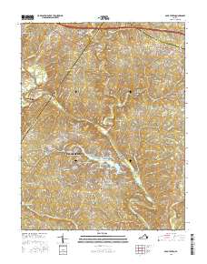
2016 Map of Boyd Tavern
USGS Topo · Published 2016About this map
The Rivanna River winds through this central Virginia landscape, defining the county line between Albemarle and Fluvanna. At the heart of the region is Lake Monticello, a sprawling residential water body characterized by numerous coves named after early American figures, such as Madison Cove, Monroe Cove, and Jefferson Cove. This 2016 survey illustrates the significant modern development concentrated around the lake compared to the traditional crossroads and riverside settlements like Union Mills and Palmyra.
Find a feature on this map
163 named features on this map. Tap any name to fly to it.
Don’t see what you’re looking for? This feature index may not catch every label — zoom into the map to look around manually.
Map Details
Editions of this 2016 Boyd Tavern Map
This is the sole edition of this map. No revisions or reprints were ever made.
Other maps of this area

1891 · Palmyra
USGS Topo · 1:125,000

1892 · Gordonsville
USGS Topo · 1:125,000

1895 · Palmyra
USGS Topo · 1:125,000

1897 · Palmyra
USGS Topo · 1:125,000

1935 · Charlottesville
USGS Topo · 1:62,500

1939 · Charlottesville
USGS Topo · 1:62,500

1943 · Scottsville
USGS Topo · 1:62,500

1946 · Scottsville
USGS Topo · 1:62,500

1947 · Roanoke
USGS Topo · 1:250,000

1949 · Charlottesville
USGS Topo · 1:250,000