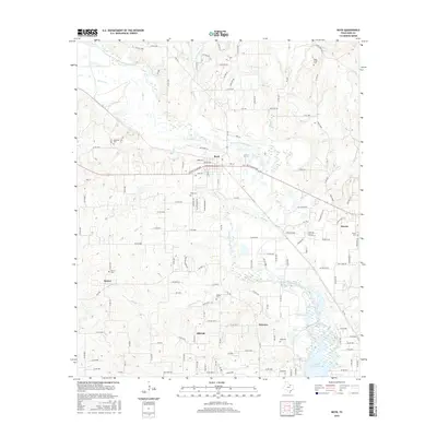
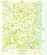
2016 Map of Boyd
USGS Topo · Published 2016About this map
The West Fork Trinity River carves a path through this section of Wise County, anchoring a landscape defined by small rural settlements and a series of family and community burial grounds. Residents and researchers will find several notable local landmarks including the Boyd Cem and Arkansas Cem near Boyd, alongside the Aurora Cem to the east. These sites, along with others like Stokes Cem and Pope Cem, provide a spatial record of the area's ancestral heritage.
Find a feature on this map
144 named features on this map. Tap any name to fly to it.
Don’t see what you’re looking for? This feature index may not catch every label — zoom into the map to look around manually.
Map Details
Editions of this 2016 Boyd Map
This is the sole edition of this map. No revisions or reprints were ever made.
Other maps of this area
1891 · Weatherford
USGS Topo · 1:125,000
1893 · Weatherford
USGS Topo · 1:125,000
1894 · Fort Worth
USGS Topo · 1:125,000
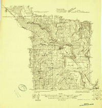
1924 · Sunset 4-d
USGS Topo · 1:48,000
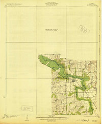
1930 · Boyd
USGS Topo · 1:62,500
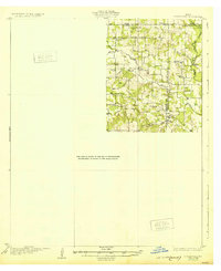
1932 · Springtown
USGS Topo · 1:62,500

1954 · Dallas
USGS Topo · 1:250,000

1954 · Sherman
USGS Topo · 1:250,000
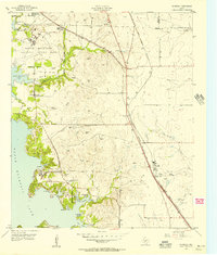
1955 · Avondale
USGS Topo · 1:24,000
1955 · Azle
USGS Topo · 1:24,000