Loading...
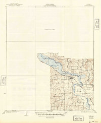
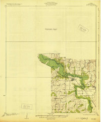
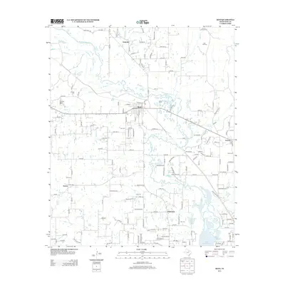
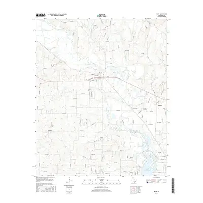
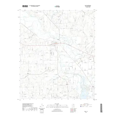
Loading map...1930 Map of Boyd
USGS Topo · Published 1949About this map
The West Fork Trinity River winds through this Wise County landscape, defining the topography during the 1920s. Centered on the town of Boyd, the map reveals a community structured around the Chicago Rock Island and Gulf railroad and a network of rural schools. Small centers like Annaville, Aurora, and Keeter are connected by local roads that navigate around significant tributaries including Deep Creek, Salt Cr, and Hog Creek.
Find a feature on this map
17 named features on this map. Tap any name to fly to it.
Don’t see what you’re looking for? This feature index may not catch every label — zoom into the map to look around manually.
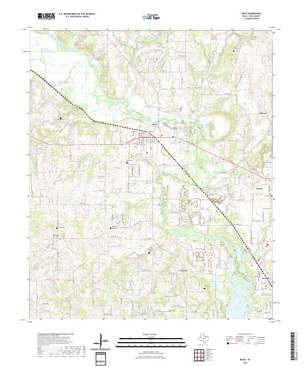
Map Details
Date Portrayed1930
Date Published1949
PublisherU.S. Geological Survey
Map TypeTopographic
Scale1:62,500
Physical Dimensions17 x 20.8 inches
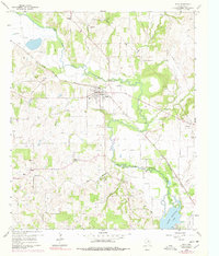
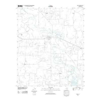
Editions of this 1930 Boyd Map
2 editions found
Historical Maps of Decatur Through Time
7 maps found
Featured Locations
Source Details
SourceU.S. Geological Survey
CopyrightPublic Domain