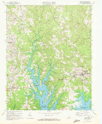
1968 Map of Boydton
USGS Topo · Published 1972About this map
Boydton serves as the focal point of this late 1960s landscape, where the rising waters of the John H Kerr Reservoir have reshaped the southern terrain into a complex system of wooded peninsulas and coves. The map captures the interaction between established rural communities and this significant water management project, which drowned portions of the Butcher Creek and Eastland Creek valleys.
Find a feature on this map
38 named features on this map. Tap any name to fly to it.
Don’t see what you’re looking for? This feature index may not catch every label — zoom into the map to look around manually.
Map Details
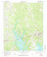
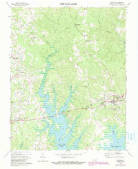
Editions of this 1968 Boydton Map
Other maps of this area

1941 · Clarksville
USGS Topo · 1:48,000

1943 · Clarksville
USGS Topo · 1:62,500

1953 · Greensboro
USGS Topo · 1:250,000

1954 · Greensboro
USGS Topo · 1:250,000

1954 · Clover
USGS Topo · 1:62,500

1955 · Chase City
USGS Topo · 1:62,500

1955 · Boydton
USGS Topo · 1:62,500

1957 · Clarksville
USGS Topo · 1:62,500

1962 · Greensboro
USGS Topo · 1:250,000

1966 · Greensboro
USGS Topo · 1:250,000