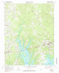
1968 Map of Boydton
USGS Topo · Published 1985About this map
Boydton serves as the focal point of this Mecklenburg County survey, positioned at the intersection of a developing road network and the Norfolk railroad line. The landscape is defined by the expansive southern reaches of the John H Kerr Reservoir, which has transformed the local drainage of Butcher Creek and Eastland Creek into a jagged shoreline of flooded timber and recreational inlets. This 1960s environment reflects a transition from traditional rural agriculture to modern utility and recreation, evidenced by the Rudd Creek Public Use Area and various boat ramps alongside long-standing rural settlements.
Find a feature on this map
37 named features on this map. Tap any name to fly to it.
Don’t see what you’re looking for? This feature index may not catch every label — zoom into the map to look around manually.
Map Details
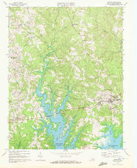
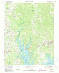
Editions of this 1968 Boydton Map
Other maps of this area

1941 · Clarksville
USGS Topo · 1:48,000

1943 · Clarksville
USGS Topo · 1:62,500

1953 · Greensboro
USGS Topo · 1:250,000

1954 · Greensboro
USGS Topo · 1:250,000

1954 · Clover
USGS Topo · 1:62,500

1955 · Chase City
USGS Topo · 1:62,500

1955 · Boydton
USGS Topo · 1:62,500

1957 · Clarksville
USGS Topo · 1:62,500

1962 · Greensboro
USGS Topo · 1:250,000

1966 · Greensboro
USGS Topo · 1:250,000