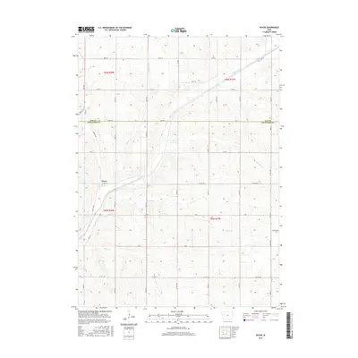
2015 Map of Boyer
USGS Topo · Published 2015About this map
The Boyer River carves a diagonal path across this Iowa landscape, defining the character of the border between Sac and Crawford counties. The small settlement of Boyer sits along the river's western banks, serving as a focal point for a rural network of section-line roads and family-named avenues. This 2015 survey reveals a terrain deeply dissected by a dense drainage system, including Beamon Cr, Trinkle Cr, and Wheeler Cr, which flow toward the primary river valley. The map documents the persistent agricultural grid of the region, where roads like County Highway E16 and County Highway M40 connect isolated homesteads and farmland across the townships of t86n r38w and t85n r37w. For those researching local roots, the map provides a clear look at the proximity of rural infrastructure to the waterways that historically shaped these Western Iowa communities.
Find a feature on this map
41 named features on this map. Tap any name to fly to it.
Don’t see what you’re looking for? This feature index may not catch every label — zoom into the map to look around manually.
Map Details
Editions of this 2015 Boyer Map
This is the sole edition of this map. No revisions or reprints were ever made.
Other maps of this area

1954 · Fort Dodge
USGS Topo · 1:250,000
1957 · Fort Dodge
USGS Topo · 1:250,000
1958 · Fort Dodge
USGS Topo · 1:250,000
1971 · Denison
USGS Topo · 1:24,000
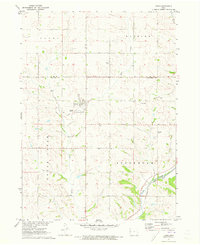
1971 · Kiron
USGS Topo · 1:24,000
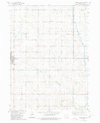
1980 · Odebolt East
USGS Topo · 1:24,000
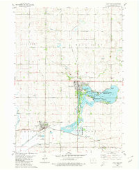
1980 · Lake View
USGS Topo · 1:24,000
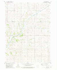
1980 · Boyer
USGS Topo · 1:24,000
1980 · Vail NE
USGS Topo · 1:24,000
1980 · Arcadia
USGS Topo · 1:24,000