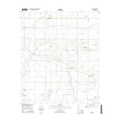
2015 Map of Boyer
USGS Topo · Published 2015About this map
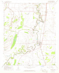
Porter Bayou and its winding tributaries dominate this landscape on the border of Bolivar and Sunflower counties. The area reflects a classic Mississippi Delta agricultural pattern, with small settlements like Boyer and Stephenville situated near the water's edge. This 2015 survey reveals how the land is divided into large, rectangular tracts defined by a network of rural roads such as Muzzi Rd and Charlie Ellis Rd. Local history and genealogy interests are anchored by sites like Boyer Cem and Mount Calvary Cem near Fairview. The drainage system, including Bear Bayou and Moorhead Bayou, illustrates the complex hydrology necessary for managing the fertile bottomlands of the region. Scattered clusters of buildings at Frazier and Faisonia further indicate the distributed nature of this rural farming community.
Find a feature on this map
65 named features on this map. Tap any name to fly to it.
Don’t see what you’re looking for? This feature index may not catch every label — zoom into the map to look around manually.
Map Details
Editions of this 2015 Boyer Map
This is the sole edition of this map. No revisions or reprints were ever made.
Other maps of this area
1934 · Cleveland
USGS Topo · 1:62,500
1939 · Tralake
USGS Topo · 1:62,500
1939 · Choctaw
USGS Topo · 1:62,500
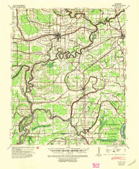
1940 · Baird
USGS Topo · 1:62,500
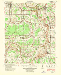
1940 · Cleveland
USGS Topo · 1:62,500

1953 · Greenwood
USGS Topo · 1:250,000

1956 · Greenwood
USGS Topo · 1:250,000
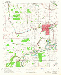
1965 · Indianola
USGS Topo · 1:24,000
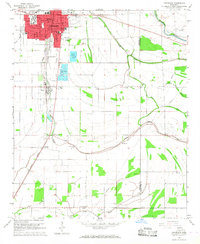
1966 · Cleveland
USGS Topo · 1:24,000
1966 · Sunflower
USGS Topo · 1:24,000