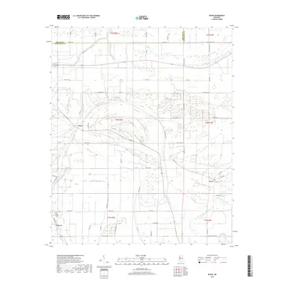
2018 Map of Boyer
USGS Topo · Published 2018About this map
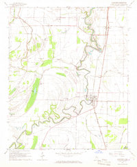
Porter Bayou and Moorhead Bayou snake through this portion of Sunflower County, defining a landscape of agricultural tracts and scattered rural settlements. The map centers on the small community of Boyer, situated near the Boyer Cem, where local roads like Steiner Rd and Boyer Rd converge. Further west, the settlement of Frazier and the neighborhood of Fairview anchor the western edge of the quadrangle, with Mount Calvary Cem serving the Fairview area.
Find a feature on this map
58 named features on this map. Tap any name to fly to it.
Don’t see what you’re looking for? This feature index may not catch every label — zoom into the map to look around manually.
Map Details
Editions of this 2018 Boyer Map
This is the sole edition of this map. No revisions or reprints were ever made.
Other maps of this area
1934 · Cleveland
USGS Topo · 1:62,500
1939 · Tralake
USGS Topo · 1:62,500
1939 · Choctaw
USGS Topo · 1:62,500
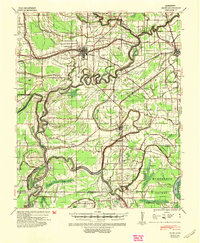
1940 · Baird
USGS Topo · 1:62,500
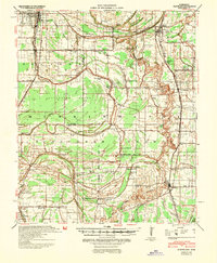
1940 · Cleveland
USGS Topo · 1:62,500

1953 · Greenwood
USGS Topo · 1:250,000

1956 · Greenwood
USGS Topo · 1:250,000
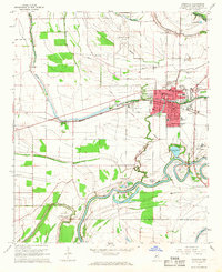
1965 · Indianola
USGS Topo · 1:24,000
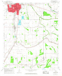
1966 · Cleveland
USGS Topo · 1:24,000
1966 · Sunflower
USGS Topo · 1:24,000