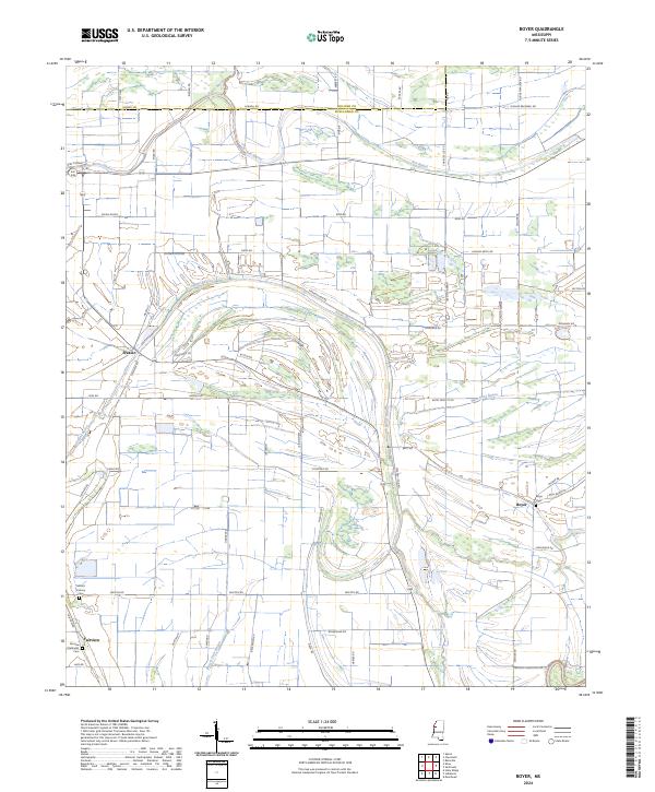
2024 Map of Boyer
USGS Topo · Published 2024About this map
The agricultural landscape of Sunflower and Bolivar Counties is defined by a complex network of meandering waterways, most notably the winding course of Porter Bayou and Fox Bayou. This modern survey reveals the persistent structure of the Mississippi Delta's drainage and land divisions, where rural settlements like Frazier, Boyer, and Fairview serve as local anchors. The map preserves the locations of vital community landmarks, including Fairview Methodist Cem and the Mount Calvary Cem, which provide essential touchpoints for genealogical research in this region.
Find a feature on this map
64 named features on this map. Tap any name to fly to it.
Don’t see what you’re looking for? This feature index may not catch every label — zoom into the map to look around manually.
Map Details
Editions of this 2024 Boyer Map
This is the sole edition of this map. No revisions or reprints were ever made.
Other maps of this area

1934 · Cleveland
USGS Topo · 1:62,500

1939 · Tralake
USGS Topo · 1:62,500

1939 · Choctaw
USGS Topo · 1:62,500

1940 · Baird
USGS Topo · 1:62,500

1940 · Cleveland
USGS Topo · 1:62,500

1953 · Greenwood
USGS Topo · 1:250,000

1956 · Greenwood
USGS Topo · 1:250,000

1965 · Indianola
USGS Topo · 1:24,000

1966 · Cleveland
USGS Topo · 1:24,000
1966 · Sunflower
USGS Topo · 1:24,000