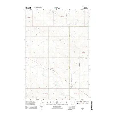
2014 Map of Boyes
USGS Topo · Published 2014About this map
Boyes sits at the junction of Us-212 and Bell Creek Rd in this 2014 snapshot of southeastern Montana. The settlement's history is anchored by the Boyes Cem located along Cemetery Rd, while the landscape is defined by the high relief of Deranleau Butte and Morellas Butte. This area serves as a significant drainage basin, where the E Fork Little Powder River is fed by numerous tributaries including Scott Cr, Coyote Cr, and Burdette Cr. The map captures the boundary line between Powder River and Carter counties, tracing a divide across a territory dominated by ranching access roads such as Pilgram Creek Rd and Moore Cut Across Rd.
Find a feature on this map
21 named features on this map. Tap any name to fly to it.
Don’t see what you’re looking for? This feature index may not catch every label — zoom into the map to look around manually.
Map Details
Editions of this 2014 Boyes Map
This is the sole edition of this map. No revisions or reprints were ever made.
Other maps of this area
1954 · Ekalaka
USGS Topo · 1:250,000
1956 · Ekalaka
USGS Topo · 1:250,000
1958 · Ekalaka
USGS Topo · 1:250,000
1965 · Ekalaka
USGS Topo · 1:250,000
1970 · Sanburn Reservoir
USGS Topo · 1:24,000
1970 · Belle Creek North
USGS Topo · 1:24,000
1970 · Hammond
USGS Topo · 1:24,000
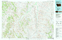
1980 · Broadus
USGS Topo · 1:100,000
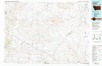
1981 · Alzada
USGS Topo · 1:100,000
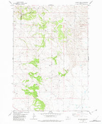
1982 · Knudson Draw
USGS Topo · 1:24,000