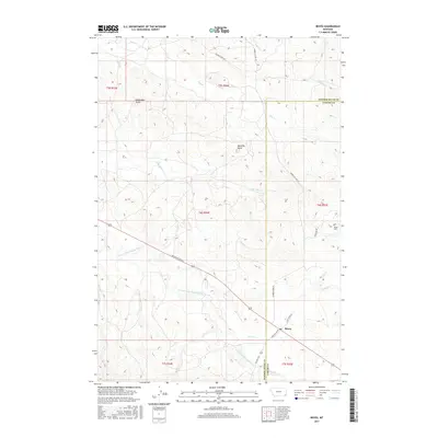
2017 Map of Boyes
USGS Topo · Published 2017About this map
The E Fork Little Powder River cuts through this corner of Carter and Powder River counties, anchoring a high-plains landscape defined by intermittent creeks and prominent elevations. The small settlement of Boyes sits near the junction of several rural routes, including Belle Creek Rd and Scott Creek Ln. Prominent landmarks such as Deranleau Butte and Morellas Butte rise above the surrounding drainages of Hay Cr and Pilgrim Cr, providing critical navigational points in the open terrain. Family history is centered at the Boyes Cem, located northeast of the main townsite near the banks of Scott Cr. The map illustrates a contemporary pattern of land use where ranching life is tied to the water of the Burdette Cr and Coyote Cr, with access provided by a network of descriptive routes like Mountain Top Rd and Moore Cut-Off Rd.
Find a feature on this map
26 named features on this map. Tap any name to fly to it.
Don’t see what you’re looking for? This feature index may not catch every label — zoom into the map to look around manually.
Map Details
Editions of this 2017 Boyes Map
This is the sole edition of this map. No revisions or reprints were ever made.
Other maps of this area
1954 · Ekalaka
USGS Topo · 1:250,000
1956 · Ekalaka
USGS Topo · 1:250,000
1958 · Ekalaka
USGS Topo · 1:250,000
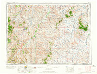
1965 · Ekalaka
USGS Topo · 1:250,000
1970 · Sanburn Reservoir
USGS Topo · 1:24,000
1970 · Belle Creek North
USGS Topo · 1:24,000
1970 · Hammond
USGS Topo · 1:24,000
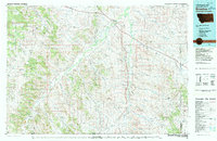
1980 · Broadus
USGS Topo · 1:100,000
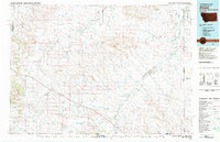
1981 · Alzada
USGS Topo · 1:100,000
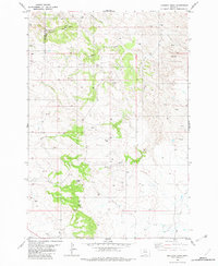
1982 · Knudson Draw
USGS Topo · 1:24,000