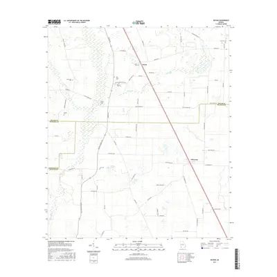
2017 Map of Boykin
USGS Topo · Published 2017About this map
Spring Creek and Aycocks Creek wind through this corner of Southwest Georgia, where the borders of Miller, Seminole, and Decatur counties converge. The landscape is defined by its agricultural character and numerous family or community landmarks, including a high density of rural cemeteries such as Pond Town Cem, Scarborough Cem, and Whites Bridge Cem.
Find a feature on this map
60 named features on this map. Tap any name to fly to it.
Don’t see what you’re looking for? This feature index may not catch every label — zoom into the map to look around manually.
Map Details
Editions of this 2017 Boykin Map
This is the sole edition of this map. No revisions or reprints were ever made.
Other maps of this area

1953 · Dothan
USGS Topo · 1:250,000

1954 · Dothan
USGS Topo · 1:250,000

1954 · Desser
USGS Topo · 1:24,000

1954 · Tallahassee
USGS Topo · 1:250,000

1955 · Dothan
USGS Topo · 1:250,000

1955 · Bainbridge
USGS Topo · 1:62,500

1959 · Tallahassee
USGS Topo · 1:250,000

1960 · Tallahassee
USGS Topo · 1:250,000

1974 · Boykin
USGS Topo · 1:24,000

1974 · Donalsonville NE
USGS Topo · 1:24,000