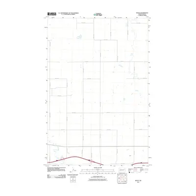
2011 Map of Boyle
USGS Topo · Published 2011About this map
Boyle sits at the southern edge of this Stark County landscape, where the prairie is organized by a precise grid of rural roads. The most prominent natural feature is the winding path of the Green River, which meanders through the southwestern corner, providing a distinct contrast to the straight lines of the township and range survey system. Most of the terrain is defined by a network of numbered corridors, including 100th Ave SW and 90th Ave SW, which serve the agricultural parcels of this North Dakota region. This 2011 survey documents the area's modern infrastructure, showing the transition from local routes like 28 R St SW to the larger thoroughfares near the southern boundary, such as 37th Ave SW. The map is particularly useful for understanding the current spatial relationship between the Boyle settlement area and the natural drainage patterns of the river.
Find a feature on this map
21 named features on this map. Tap any name to fly to it.
Don’t see what you’re looking for? This feature index may not catch every label — zoom into the map to look around manually.
Map Details
Editions of this 2011 Boyle Map
This is the sole edition of this map. No revisions or reprints were ever made.
Other maps of this area

1953 · Dickinson
USGS Topo · 1:250,000

1953 · Watford City
USGS Topo · 1:250,000

1957 · Dickinson
USGS Topo · 1:250,000

1957 · Watford City
USGS Topo · 1:250,000

1959 · Lehigh
USGS Topo · 1:24,000

1962 · Davis Buttes
USGS Topo · 1:24,000

1967 · Watford City
USGS Topo · 1:250,000

1973 · Bratburg Butte
USGS Topo · 1:24,000

1973 · Boyle
USGS Topo · 1:24,000

1973 · Taylor
USGS Topo · 1:24,000