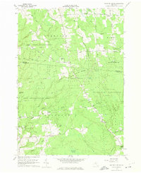
1959 Map of Boylston Center
USGS Topo · Published 1975About this map
Boylston Center serves as the central hub for this rural stretch of the Tug Hill region during the late 1950s. The landscape is defined by vast public lands, including the Littlejohn State Game Management Area and several sections of the State Reforestation Area, which indicate the transition of former 19th-century marginal farmland back into managed timber and wildlife habitats.
Find a feature on this map
55 named features on this map. Tap any name to fly to it.
Don’t see what you’re looking for? This feature index may not catch every label — zoom into the map to look around manually.
Map Details
Editions of this 1959 Boylston Center Map
Other maps of this area

1893 · Sackets Harbor
USGS Topo · 1:62,500

1895 · Sacketts Harbor
USGS Topo · 1:62,500

1895 · Pulaski
USGS Topo · 1:62,500

1895 · Watertown
USGS Topo · 1:62,500

1898 · Watertown
USGS Topo · 1:62,500

1903 · Orwell
USGS Topo · 1:62,500

1905 · Orwell
USGS Topo · 1:62,500

1908 · Watertown
USGS Topo · 1:62,500

1909 · Watertown
USGS Topo · 1:62,500

1942 · Sandy Creek
USGS Topo · 1:24,000