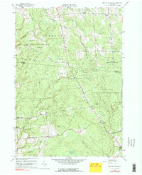
1959 Map of Boylston Center
USGS Topo · Published 1980About this map
Boylston Center and Smartville anchor this mid-century look at the Tug Hill region, where the landscape is defined by extensive public lands. The transition from active farming to conservation is visible in the vast State Reforestation Area and the Littlejohn State Game Management Area, which cover much of the terrain between Frederick Corners and Greenboro. The drainage pattern is dense, with Little Sandy Creek and Stinson Creek cutting through the highlands toward the Tamaraek Swamp.
Find a feature on this map
51 named features on this map. Tap any name to fly to it.
Don’t see what you’re looking for? This feature index may not catch every label — zoom into the map to look around manually.
Map Details
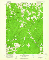
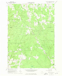
Editions of this 1959 Boylston Center Map
Other maps of this area

1893 · Sackets Harbor
USGS Topo · 1:62,500

1895 · Sacketts Harbor
USGS Topo · 1:62,500

1895 · Pulaski
USGS Topo · 1:62,500

1895 · Watertown
USGS Topo · 1:62,500

1898 · Watertown
USGS Topo · 1:62,500

1903 · Orwell
USGS Topo · 1:62,500

1905 · Orwell
USGS Topo · 1:62,500

1908 · Watertown
USGS Topo · 1:62,500

1909 · Watertown
USGS Topo · 1:62,500

1942 · Sandy Creek
USGS Topo · 1:24,000