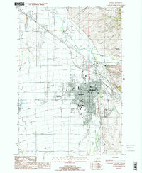
1987 Map of Bozeman
USGS Topo · Published 1988About this map
The city of Bozeman and the sprawling campus of Montana State University anchor this detailed survey, captured during a period of steady growth in the late 1980s. The urban grid is defined by historical landmarks like the Fairground, the Athletic Field, and the Sunset Hills Cemetery, while the surrounding landscape reflects a complex hydraulic system managed through the West Gallatin Canal and Farmers Canal. To the north and east, the terrain rises toward Sypes Canyon and the Bridger Range, where Lyman Creek Reservoir and numerous mountain streams like Sypes Creek and Bridger Creek descend toward the valley floor.
Find a feature on this map
31 named features on this map. Tap any name to fly to it.
Don’t see what you’re looking for? This feature index may not catch every label — zoom into the map to look around manually.
Map Details
Editions of this 1987 Bozeman Map
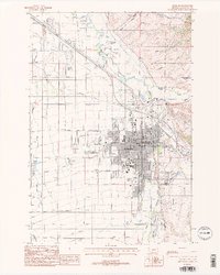
2 editions found
Other maps of this area

1888 · Three Forks
USGS Topo · 1:250,000

1891 · Livingston
USGS Topo · 1:250,000

1893 · Livingston
USGS Topo · 1:250,000

1894 · Three Forks
USGS Topo · 1:250,000

1895 · Three Forks
USGS Topo · 1:250,000

1947 · Bozeman
USGS Topo · 1:250,000

1948 · Bozeman
USGS Topo · 1:250,000

1950 · Belgrade
USGS Topo · 1:62,500

1951 · Bozeman Pass
USGS Topo · 1:62,500

1951 · Sedan
USGS Topo · 1:62,500