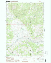
1987 Map of Bozeman Pass
USGS Topo · Published 1987About this map
Bozeman Pass serves as the critical transit point through the northern mountains in this 1980s survey, where the Burlington Northern railroad utilizes the Bozeman Tunnel to navigate the divide between the Bridger Range and the surrounding high country. The landscape is defined by its industrial legacy, specifically the numerous mining operations dotting the slopes of the Gallatin National Forest. Distinct excavations such as the Mountainside Mine, Coulston Mine, and the Anaconda Copper Mines illustrate a region heavily shaped by extraction. Small settlements and points of interest like Timberline, Muir, and the Malmborg Sch provide evidence of the localized communities that supported these mountain industries. The drainage patterns of Jackson Creek and Billman Creek highlight the complex topography that historically challenged engineers and prospectors alike.
Find a feature on this map
37 named features on this map. Tap any name to fly to it.
Don’t see what you’re looking for? This feature index may not catch every label — zoom into the map to look around manually.
Map Details
Editions of this 1987 Bozeman Pass Map
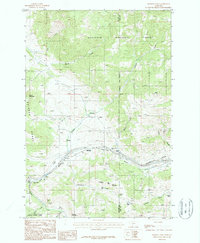
2 editions found
Other maps of this area

1891 · Livingston
USGS Topo · 1:250,000

1893 · Livingston
USGS Topo · 1:250,000

1947 · Bozeman
USGS Topo · 1:250,000

1948 · Bozeman
USGS Topo · 1:250,000

1951 · Bozeman Pass
USGS Topo · 1:62,500

1951 · Gobblers Knob
USGS Topo · 1:24,000

1951 · Hoppers
USGS Topo · 1:24,000

1951 · Chimney Rock
USGS Topo · 1:24,000

1951 · Sedan
USGS Topo · 1:62,500

1955 · Bozeman
USGS Topo · 1:250,000