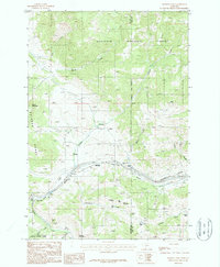
1987 Map of Bozeman Pass
USGS Topo · Published 1987About this map
Bozeman Pass serves as the central hub of this 1980s landscape, where industrial infrastructure and mountain terrain converge at the Gallatin Co Park Co line. The Burlington Northern railroad dominates the east-west corridor, passing through the critical Bozeman Tunnel near the small settlements of West End and Muir. This era is defined by a dense concentration of mining activity south of the tracks, including the Anaconda Copper Mines, Mountainside Mine, and several operations along Five Mile Creek like the Ross Mine.
Find a feature on this map
45 named features on this map. Tap any name to fly to it.
Don’t see what you’re looking for? This feature index may not catch every label — zoom into the map to look around manually.
Map Details
Editions of this 1987 Bozeman Pass Map
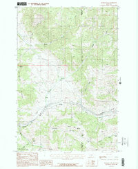
2 editions found
Other maps of this area

1891 · Livingston
USGS Topo · 1:250,000

1893 · Livingston
USGS Topo · 1:250,000

1947 · Bozeman
USGS Topo · 1:250,000

1948 · Bozeman
USGS Topo · 1:250,000

1951 · Bozeman Pass
USGS Topo · 1:62,500

1951 · Gobblers Knob
USGS Topo · 1:24,000

1951 · Hoppers
USGS Topo · 1:24,000

1951 · Chimney Rock
USGS Topo · 1:24,000

1951 · Sedan
USGS Topo · 1:62,500

1955 · Bozeman
USGS Topo · 1:250,000