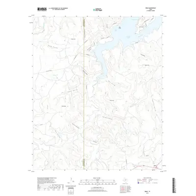
2019 Map of Brad
USGS Topo · Published 2019About this map
Brad serves as a central point of settlement on this landscape where the high plains meet the winding waters of the Brazos River. The northern portion of the map is dominated by the sprawling reaches of Possum Kingdom Lake, which redefined the local geography after the mid-20th century. The intricate shoreline creates distinctive landforms like Bone Bend and Hog Bend, alongside aquatic features such as Caddo Bay and Bass Island. This survey illustrates the contrast between the developed recreational areas of Possum Kingdom State Park and the deeply dissected canyonlands to the south.
Find a feature on this map
48 named features on this map. Tap any name to fly to it.
Don’t see what you’re looking for? This feature index may not catch every label — zoom into the map to look around manually.
Map Details
Editions of this 2019 Brad Map
This is the sole edition of this map. No revisions or reprints were ever made.
Other maps of this area
1890 · Breckenridge
USGS Topo · 1:125,000
1891 · Palo Pinto
USGS Topo · 1:125,000
1918 · Palo Pinto
USGS Topo · 1:125,000
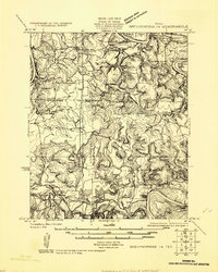
1924 · Breckenridge 1-a
USGS Topo · 1:48,000
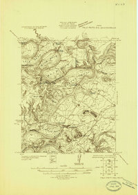
1924 · Palo Pinto 2-b
USGS Topo · 1:48,000
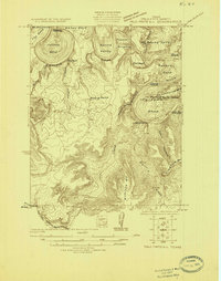
1924 · Palo Pinto 2-c
USGS Topo · 1:48,000
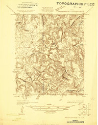
1924 · Breckenridge 1-d
USGS Topo · 1:48,000
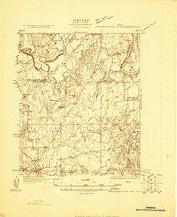
1925 · Breckenridge 1-b
USGS Topo · 1:48,000
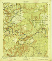
1927 · Pickwick
USGS Topo · 1:62,500
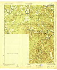
1931 · Ivan
USGS Topo · 1:62,500