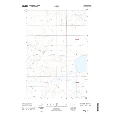
2020 Map of Braddock
USGS Topo · Published 2020About this map
Braddock anchors this section of Emmons County, situated along the path of Railroad Ave E and north of the winding Goose Creek. This modern survey reveals a landscape deeply influenced by its glacial past, specifically the Altamont Moraine which shapes the southern reaches of the quadrangle. For those researching local families, the map identifies three distinct burial grounds: Saint Katherines Cem and Braddock Cem near the town center, and the more distant Maria Lutheran Cem to the southeast. The hydrology of the region is defined by the expansive Goose Lake and the drainage patterns of Long Lake Cr, which cuts through the prairie terrain. The map's grid-like road network, featuring routes such as 16th Ave SE and 60th St SE, illustrates the persistent township and range organization that governs this rural North Dakota territory.
Find a feature on this map
32 named features on this map. Tap any name to fly to it.
Don’t see what you’re looking for? This feature index may not catch every label — zoom into the map to look around manually.
Map Details
Editions of this 2020 Braddock Map
This is the sole edition of this map. No revisions or reprints were ever made.
Other maps of this area

1953 · Jamestown
USGS Topo · 1:250,000

1954 · Bismarck
USGS Topo · 1:250,000

1956 · Jamestown
USGS Topo · 1:250,000

1958 · Bismarck
USGS Topo · 1:250,000

1975 · Dana
USGS Topo · 1:24,000

1975 · Appert Lake
USGS Topo · 1:24,000

1975 · Linton NE
USGS Topo · 1:24,000
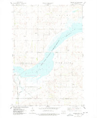
1975 · Braddock NW
USGS Topo · 1:24,000

1975 · Braddock
USGS Topo · 1:24,000
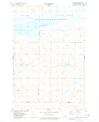
1975 · Braddock NE
USGS Topo · 1:24,000