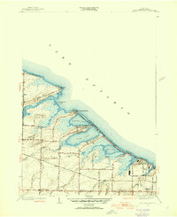
1952 Map of Braddock Heights
USGS Topo · Published 1954About this map
The marshy shoreline of Lake Ontario west of Rochester is defined here by a series of significant lagoons and inlets. In the early 1950s, this portion of the town of Greece shows a landscape in transition, where established residential lakefront communities like Manitou Beach, Braddock Heights, and Grand View Heights line the narrow barrier beaches. Inland, the terrain is shaped by the complex drainage of Salmon Creek, Buttonwood Creek, and Northrup Creek, which feed into Braddock Bay and the surrounding ponds.
Find a feature on this map
56 named features on this map. Tap any name to fly to it.
Don’t see what you’re looking for? This feature index may not catch every label — zoom into the map to look around manually.
Map Details
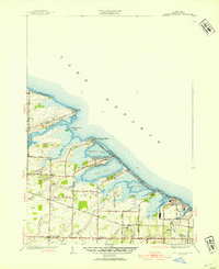
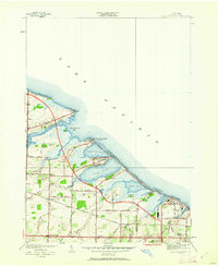
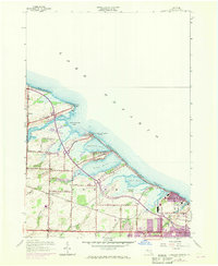
Editions of this 1952 Braddock Heights Map
4 editions found
Other maps of this area

1895 · Rochester
USGS Topo · 1:62,500

1895 · Ontario Beach
USGS Topo · 1:62,500

1898 · Rochester
USGS Topo · 1:62,500

1899 · Hamlin
USGS Topo · 1:62,500

1899 · Ontario Beach
USGS Topo · 1:62,500

1899 · Brockport
USGS Topo · 1:62,500

1912 · Rochester
USGS Topo · 1:62,500

1912 · Ontario Beach
USGS Topo · 1:62,500

1920 · Rochester
USGS Topo · 1:62,500

1931 · Rochester West
USGS Topo · 1:24,000