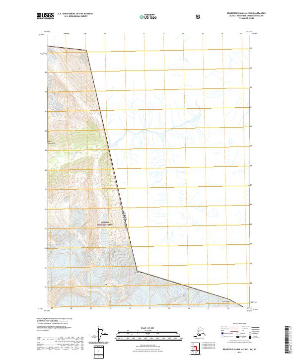
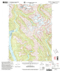
2021 Map of Bradfield Canal A-2 NE
USGS Topo · Published 2021About this map
The Canada-United States border cuts sharply through this high-altitude landscape within the Tongass National Forest, following a path defined by the peaks of the Coast Mountains. This survey documents a wilderness of ice and rock where human footprints are largely absent, dominated instead by the Chickamin Glacier and the Leduc River. High summits along the international boundary, including Mt Willibert, Mt John Jay, and Mt Upshur, mark the literal edge of the nation. The township lines of t65s r97e and t66s r97e overlay a terrain where the lack of roads or settlements highlights the isolation of this corner of the Alaska-British Columbia frontier in the early twenty-first century.
Find a feature on this map
12 named features on this map. Tap any name to fly to it.
Don’t see what you’re looking for? This feature index may not catch every label — zoom into the map to look around manually.
Map Details
Editions of this 2021 Bradfield Canal A-2 NE Map
This is the sole edition of this map. No revisions or reprints were ever made.
Other maps of this area

1951 · Bradfield Canal
USGS Topo · 1:250,000

1954 · Bradfield Canal
USGS Topo · 1:250,000

1955 · Bradfield canal B-2
USGS Topo · 1:63,360

1955 · Bradfield canal A-2
USGS Topo · 1:63,360

1955 · Bradfield Canal A-1
USGS Topo · 1:63,360

1955 · Bradfield Canal
USGS Topo · 1:250,000
1973 · Bradfield Canal B-2
USGS Topo · 1:63,360
1996 · Bradfield Canal A-1
USGS Topo · 1:63,360
1997 · Bradfield Canal A-1
USGS Topo · 1:63,360
2000 · Bradfield Canal A-1
USGS Topo · 1:63,360