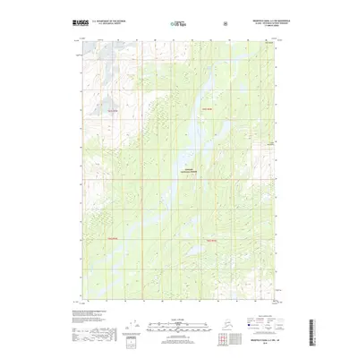
2018 Map of Bradfield Canal A-3 NW
USGS Topo · Published 2018About this map
The Unuk River valley dominates this remote Alaskan landscape within the Tongass National Forest. Flowing through the southern reaches of the Coast Mountains, the river system creates a complex network of glacial meltwater and seasonal drainage, evidenced by features like Sawmill Slough and Lake Creek. The topography is defined by extreme elevation changes, rising sharply from the riverbanks to the high peaks and glacial valleys characteristic of the Ketchikan Gateway region. This 2018 survey captures the precise hydrologic state of the basin, including the narrow passage at First Canyon. The map reveals a wilderness largely devoid of permanent human infrastructure, where the natural movement of water and ice remains the primary force shaping the terrain.
Find a feature on this map
11 named features on this map. Tap any name to fly to it.
Don’t see what you’re looking for? This feature index may not catch every label — zoom into the map to look around manually.
Map Details
Editions of this 2018 Bradfield Canal A-3 NW Map
This is the sole edition of this map. No revisions or reprints were ever made.
Other maps of this area

1951 · Bradfield Canal
USGS Topo · 1:250,000

1954 · Bradfield Canal
USGS Topo · 1:250,000

1955 · Bradfield canal B-3
USGS Topo · 1:63,360

1955 · Bradfield canal A-4
USGS Topo · 1:63,360

1955 · Bradfield canal B-4
USGS Topo · 1:63,360

1955 · Bradfield canal A-3
USGS Topo · 1:63,360

1955 · Bradfield Canal
USGS Topo · 1:250,000
1995 · Bradfield Canal A-4
USGS Topo · 1:63,360
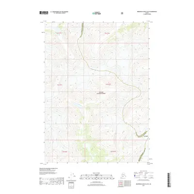
2017 · Bradfield Canal B-4 SE
USGS Topo · 1:25,000
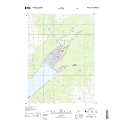
2017 · Bradfield Canal A-4 SE
USGS Topo · 1:25,000