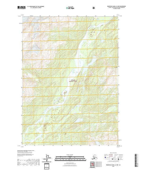
2021 Map of Bradfield Canal A-3 NW
USGS Topo · Published 2021About this map
Tongass National Forest dominates this Alaskan landscape, where the Unuk River flows through a deep valley of the Coast Mountains. This modern topographic survey illustrates a complex hydrologic network including the Sawmill Slough and the winding course of Lake Creek. The river valley serves as a primary drainage corridor, with high-elevation contour lines marking the steep ascent into the surrounding peaks. Geographers and conservationists can trace the fine detail of wetlands and small tributaries like Lake Cr that feed into the larger river system. The map provides a precise record of public land survey system boundaries, including portions of t65s r94e and t66s r94e, reflecting the ongoing management of this protected wilderness area.
Find a feature on this map
10 named features on this map. Tap any name to fly to it.
Don’t see what you’re looking for? This feature index may not catch every label — zoom into the map to look around manually.
Map Details
Editions of this 2021 Bradfield Canal A-3 NW Map
This is the sole edition of this map. No revisions or reprints were ever made.
Other maps of this area

1951 · Bradfield Canal
USGS Topo · 1:250,000

1954 · Bradfield Canal
USGS Topo · 1:250,000

1955 · Bradfield canal B-3
USGS Topo · 1:63,360

1955 · Bradfield canal A-4
USGS Topo · 1:63,360

1955 · Bradfield canal B-4
USGS Topo · 1:63,360

1955 · Bradfield canal A-3
USGS Topo · 1:63,360

1955 · Bradfield Canal
USGS Topo · 1:250,000
1995 · Bradfield Canal A-4
USGS Topo · 1:63,360
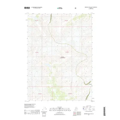
2017 · Bradfield Canal B-4 SE
USGS Topo · 1:25,000
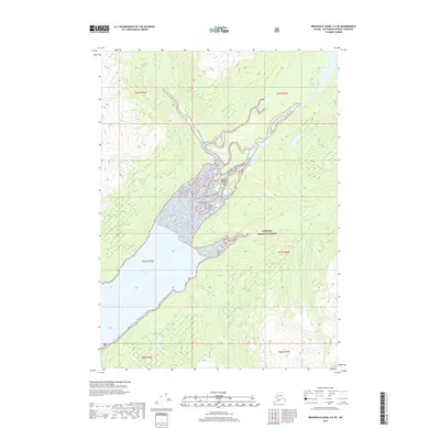
2017 · Bradfield Canal A-4 SE
USGS Topo · 1:25,000