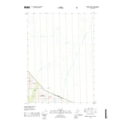
2018 Map of Bradfield Canal B-2 SW
USGS Topo · Published 2018About this map
The international border between the United States and Canada bisects this remote portion of the Coast Mountains. This survey documents a high-altitude wilderness defined by drainage systems and topographic peaks rather than human settlements. Within the American side, the landscape is protected as part of the Tongass National Forest, where steep ridgelines descend toward Smith Lake and several glaciated waterways. Significant hydrology includes the western flow of Boulder Creek and the meandering path of Gracey Creek, which crosses the international boundary. Peaks like Mt Middleton serve as primary landmarks in a region where the traditional township and range grid system, including t64s r95e and t65s r96e, meets the jagged reality of the Alaskan and British Columbian wilderness.
Find a feature on this map
13 named features on this map. Tap any name to fly to it.
Don’t see what you’re looking for? This feature index may not catch every label — zoom into the map to look around manually.
Map Details
Editions of this 2018 Bradfield Canal B-2 SW Map
This is the sole edition of this map. No revisions or reprints were ever made.
Other maps of this area

1951 · Bradfield Canal
USGS Topo · 1:250,000

1954 · Bradfield Canal
USGS Topo · 1:250,000

1955 · Bradfield canal B-2
USGS Topo · 1:63,360

1955 · Bradfield canal B-3
USGS Topo · 1:63,360

1955 · Bradfield canal A-2
USGS Topo · 1:63,360

1955 · Bradfield canal A-3
USGS Topo · 1:63,360

1955 · Bradfield Canal
USGS Topo · 1:250,000
1973 · Bradfield Canal B-2
USGS Topo · 1:63,360
2000 · Bradfield Canal A-2
USGS Topo · 1:63,360
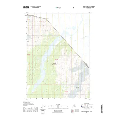
2018 · Bradfield Canal B-3 SE
USGS Topo · 1:25,000