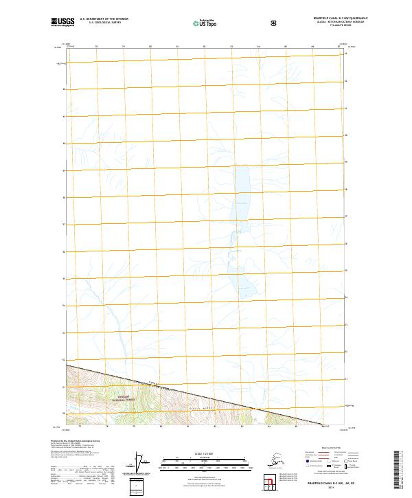
2021 Map of Bradfield Canal B-3 NW
USGS Topo · Published 2021About this map
Lava Lakes dominate the northern landscape of this remote section of the Tongass National Forest, illustrating a complex hydrological system where water flows through the Lava Fork. The map documents the high-latitude wilderness at the international border between the Canada United States of America, where topographic details show the transition from the alpine elevations of Albert Ridge down to the river valleys. The presence of the Blue River in the southwestern corner highlights the intricate drainage patterns characteristic of this glacial and volcanic terrain, providing a clear record of the area's natural state in the early twenty-first century. This survey is particularly useful for understanding the exact placement of the international boundary line relative to the sharp elevation changes of the surrounding ridges.
Find a feature on this map
8 named features on this map. Tap any name to fly to it.
Don’t see what you’re looking for? This feature index may not catch every label — zoom into the map to look around manually.
Map Details
Editions of this 2021 Bradfield Canal B-3 NW Map
This is the sole edition of this map. No revisions or reprints were ever made.
Other maps of this area

1951 · Bradfield Canal
USGS Topo · 1:250,000

1954 · Bradfield Canal
USGS Topo · 1:250,000

1955 · Bradfield canal B-3
USGS Topo · 1:63,360

1955 · Bradfield canal B-4
USGS Topo · 1:63,360

1955 · Bradfield Canal
USGS Topo · 1:250,000
2017 · Bradfield Canal B-4 NE
USGS Topo · 1:25,000
2017 · Bradfield Canal B-4 SE
USGS Topo · 1:25,000
2018 · Bradfield Canal B-3 NW
USGS Topo · 1:25,000
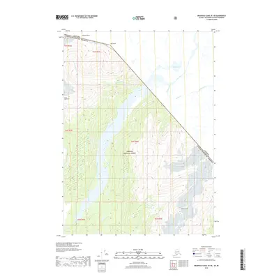
2018 · Bradfield Canal B-3 SE
USGS Topo · 1:25,000
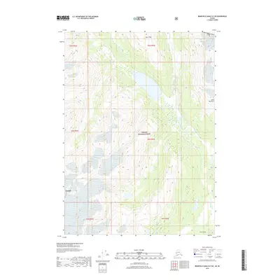
2018 · Bradfield Canal B-3 SW
USGS Topo · 1:25,000