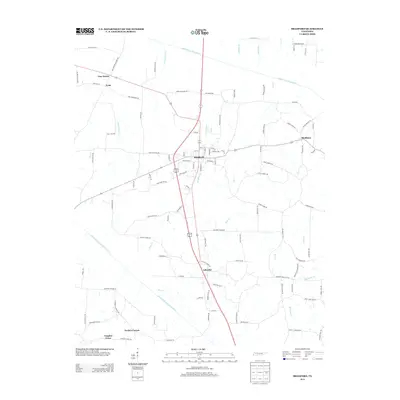
2013 Map of Bradford
USGS Topo · Published 2013About this map
Bradford serves as the central hub of this Gibson County landscape, where the local road network converges around the highway corridor. Small rural communities and named crossroads such as Skullbone, Idlewild, and Four Points define the settlement patterns of the early 21st century. The terrain is structured by the drainage basins of the South Fork Obion River to the north and the Rutherford Fork Obion River to the south, with numerous smaller tributaries like Bear Cr and Locust Grove Cr carving through the agricultural land. This survey captures the intricate grid of family-named roads and local connectors, such as Old Trenton Dresden Rd and Cecil Lett Rd, that have linked these West Tennessee farming communities for generations. The proximity of Vaughns Grove and Tuckers Corner in the southwest corner illustrates the dense distribution of small historic locales that persist even as modern infrastructure evolves.
Find a feature on this map
106 named features on this map. Tap any name to fly to it.
Don’t see what you’re looking for? This feature index may not catch every label — zoom into the map to look around manually.
Map Details
Editions of this 2013 Bradford Map
This is the sole edition of this map. No revisions or reprints were ever made.
Other maps of this area

1951 · Trenton
USGS Topo · 1:24,000

1952 · Milan
USGS Topo · 1:24,000

1953 · Dyer
USGS Topo · 1:24,000

1954 · Rutherford
USGS Topo · 1:24,000

1954 · Greenfield
USGS Topo · 1:24,000

1954 · Bradford
USGS Topo · 1:24,000

1956 · Dyersburg
USGS Topo · 1:250,000

1956 · Blytheville
USGS Topo · 1:250,000

1959 · Blytheville
USGS Topo · 1:250,000

1966 · Atwood
USGS Topo · 1:24,000