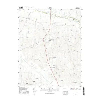
2016 Map of Bradford
USGS Topo · Published 2016About this map
Bradford serves as the central hub for this portion of West Tennessee, situated between the South Fork Obion River to the north and the Rutherford Fork Obion River to the south. The landscape is defined by its agricultural character and a dense network of country roads, connecting long-standing small communities like Skullbone and Idlewild. The terrain is drained by numerous tributaries including Bear Cr, Locust Grove Cr, and Dry Cr, which carve subtle valleys across the Gibson County countryside.
Find a feature on this map
103 named features on this map. Tap any name to fly to it.
Don’t see what you’re looking for? This feature index may not catch every label — zoom into the map to look around manually.
Map Details
Editions of this 2016 Bradford Map
This is the sole edition of this map. No revisions or reprints were ever made.
Other maps of this area

1951 · Trenton
USGS Topo · 1:24,000

1952 · Milan
USGS Topo · 1:24,000

1953 · Dyer
USGS Topo · 1:24,000

1954 · Rutherford
USGS Topo · 1:24,000

1954 · Greenfield
USGS Topo · 1:24,000

1954 · Bradford
USGS Topo · 1:24,000

1956 · Dyersburg
USGS Topo · 1:250,000

1956 · Blytheville
USGS Topo · 1:250,000

1959 · Blytheville
USGS Topo · 1:250,000

1966 · Atwood
USGS Topo · 1:24,000