
1926 Map of Bradford
USGS Topo · Published 1926About this map
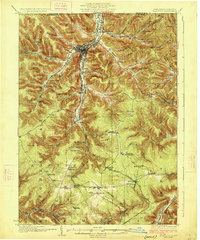
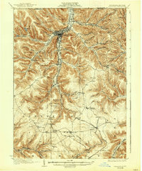
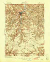
Bradford serves as the industrial and population hub of this 1920s survey, centered at the confluence of Tuna Creek and its southern branches. The landscape is defined by the early petroleum and chemical industries of McKean Co, evidenced by the Nusbaum Chemical Plant and a dense network of rail lines including the Erie RR and the Bradford Electric Ry. Outside the city, the terrain transitions into the nascent Allegheny National Forest, where steep ridges are carved by numerous named hollows like Langmade Hollow and Bennett Hollow.
Find a feature on this map
107 named features on this map. Tap any name to fly to it.
Don’t see what you’re looking for? This feature index may not catch every label — zoom into the map to look around manually.
Map Details
Editions of this 1926 Bradford Map
4 editions found
Other maps of this area

1898 · Olean
USGS Topo · 1:62,500

1900 · Salamanca
USGS Topo · 1:62,500

1922 · Randolph
USGS Topo · 1:62,500

1923 · Randolph
USGS Topo · 1:62,500

1924 · Bradford
USGS Topo · 1:62,500

1933 · Smethport
USGS Topo · 1:62,500

1934 · Kane
USGS Topo · 1:48,000

1935 · Mt. Jewett
USGS Topo · 1:48,000

1936 · Kinzua
USGS Topo · 1:48,000

1937 · Smethport
USGS Topo · 1:62,500