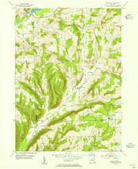
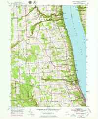
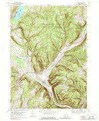
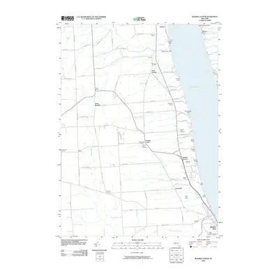
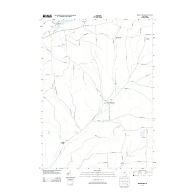
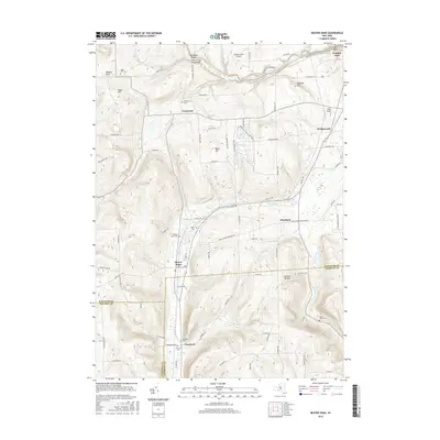
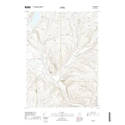
1953 Map of Bradford
USGS Topo · Published 1965About this map
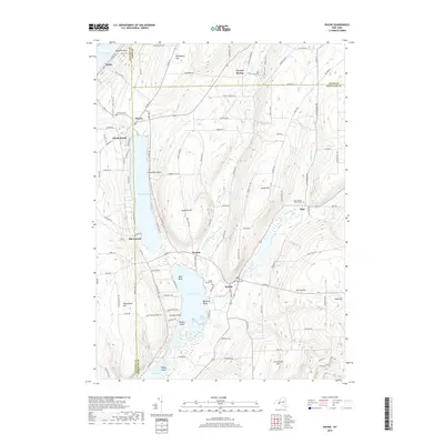
Bradford and Monterey anchor this mid-century survey of the upland borderlands where Steuben and Schuyler counties meet. The landscape is defined by the significant valley of Meads Creek, which draws the primary roads and settlements through the area. Higher elevations are marked by small, isolated landmarks such as Cinnamon Lake and the Star District Sch, reflecting a rural social structure tied to localized school districts and family cemeteries.
Find a feature on this map
24 named features on this map. Tap any name to fly to it.
Don’t see what you’re looking for? This feature index may not catch every label — zoom into the map to look around manually.
Map Details
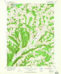
Editions of this 1953 Bradford Map
Historical Maps of Campbell Through Time
32 maps found
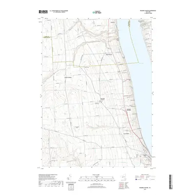
1901 Watkins
Schuyler County, NY
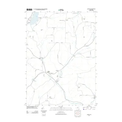
1950 Alpine
Schuyler County, NY
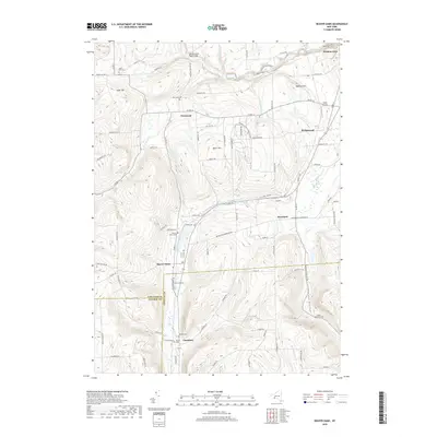
1950 Reading Center
Schuyler County, NY
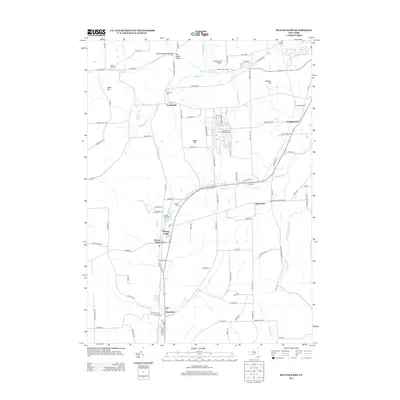
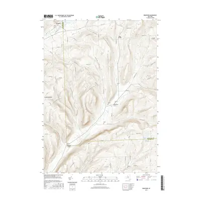
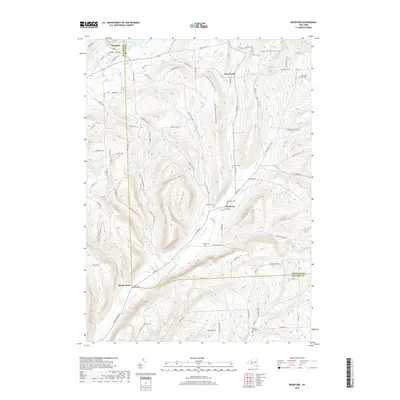
1953 Beaver Dams
Schuyler County, NY
1953 Bradford
Schuyler County, NY
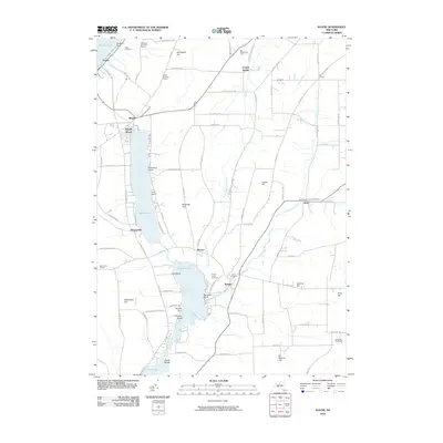
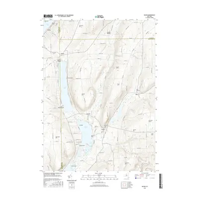
1953 Wayne
Schuyler County, NY
1969 Alpine
Schuyler County, NY
2010 Alpine
Schuyler County, NY
2010 Beaver Dams
Schuyler County, NY
2010 Bradford
Schuyler County, NY
2010 Reading Center
Schuyler County, NY
2010 Wayne
Schuyler County, NY
2013 Alpine
Schuyler County, NY
2013 Beaver Dams
Schuyler County, NY
2013 Bradford
Schuyler County, NY
2013 Reading Center
Schuyler County, NY
2013 Wayne
Schuyler County, NY
2016 Alpine
Schuyler County, NY
2016 Beaver Dams
Schuyler County, NY
2016 Bradford
Schuyler County, NY
2016 Reading Center
Schuyler County, NY
2016 Wayne
Schuyler County, NY
2019 Alpine
Schuyler County, NY
2019 Beaver Dams
Schuyler County, NY
2019 Bradford
Schuyler County, NY
2019 Reading Center
Schuyler County, NY
2019 Wayne
Schuyler County, NY

2023 Alpine
Schuyler County, NY

2023 Beaver Dams
Schuyler County, NY

2023 Bradford
Schuyler County, NY

2023 Reading Center
Schuyler County, NY

2023 Wayne
Schuyler County, NY