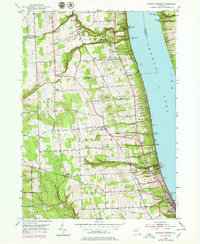
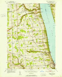
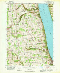
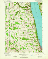
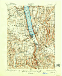
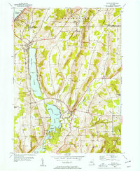
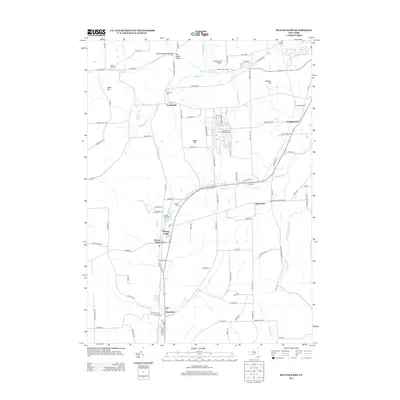
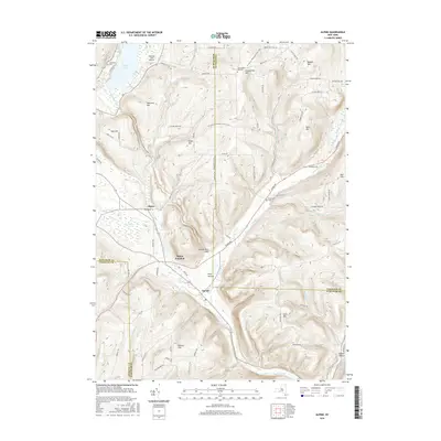
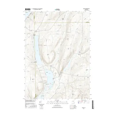
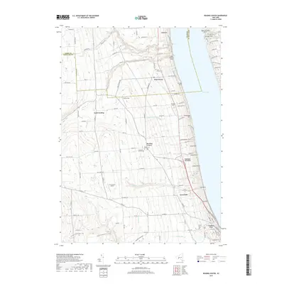
1950 Map of Reading Center
USGS Topo · Published 1979About this map
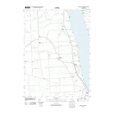
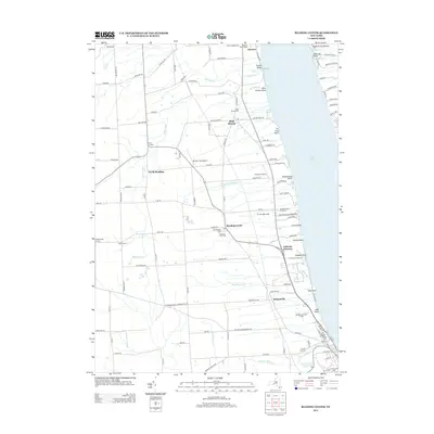
Seneca Lake shoreline communities and the agricultural uplands of Schuyler County define this 1950 survey, which includes later revisions from 1976. The industrial and transit character of the lakeside is evident through the numerous Salt Wells and the Conrail rail line tracing the western bank. Inland, the map reveals a dense network of local family-named crossroads and hamlets such as Reading Center, Halls Corners, and Gingerbread Corners.
Find a feature on this map
61 named features on this map. Tap any name to fly to it.
Don’t see what you’re looking for? This feature index may not catch every label — zoom into the map to look around manually.
Map Details
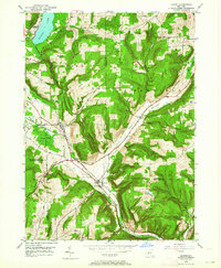
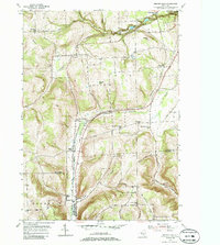
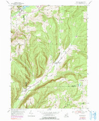
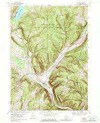
Editions of this 1950 Reading Center Map
4 editions found
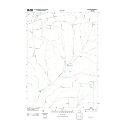
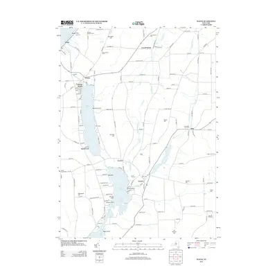
Historical Maps of Hector Through Time
32 maps found
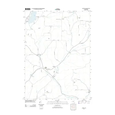
1901 Watkins
Schuyler County, NY
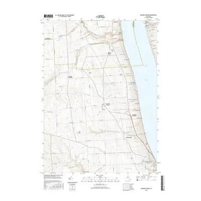
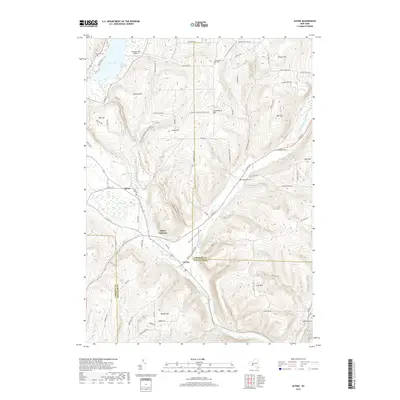
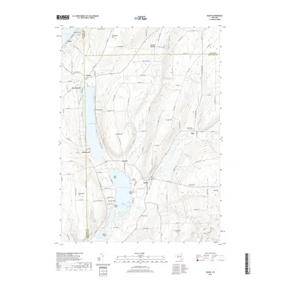
1950 Alpine
Schuyler County, NY
1950 Reading Center
Schuyler County, NY
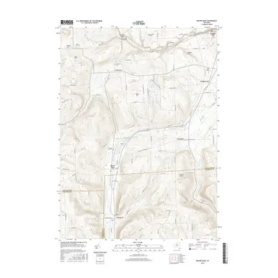
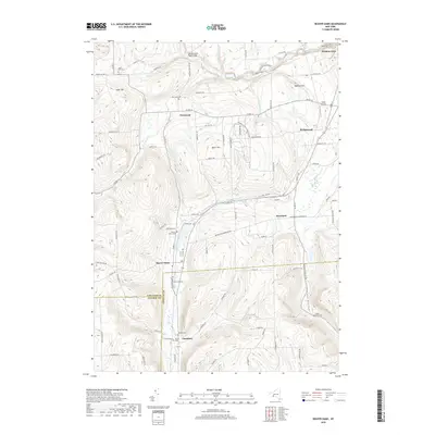
1953 Beaver Dams
Schuyler County, NY
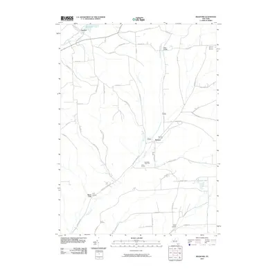
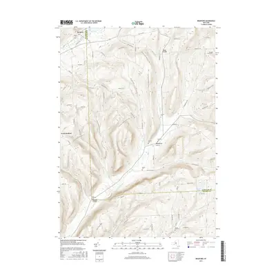
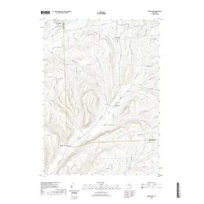
1953 Bradford
Schuyler County, NY
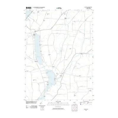
1953 Wayne
Schuyler County, NY
1969 Alpine
Schuyler County, NY
2010 Alpine
Schuyler County, NY
2010 Beaver Dams
Schuyler County, NY
2010 Bradford
Schuyler County, NY
2010 Reading Center
Schuyler County, NY
2010 Wayne
Schuyler County, NY
2013 Alpine
Schuyler County, NY
2013 Beaver Dams
Schuyler County, NY
2013 Bradford
Schuyler County, NY
2013 Reading Center
Schuyler County, NY
2013 Wayne
Schuyler County, NY
2016 Alpine
Schuyler County, NY
2016 Beaver Dams
Schuyler County, NY
2016 Bradford
Schuyler County, NY
2016 Reading Center
Schuyler County, NY
2016 Wayne
Schuyler County, NY
2019 Alpine
Schuyler County, NY
2019 Beaver Dams
Schuyler County, NY
2019 Bradford
Schuyler County, NY
2019 Reading Center
Schuyler County, NY
2019 Wayne
Schuyler County, NY

2023 Alpine
Schuyler County, NY

2023 Beaver Dams
Schuyler County, NY

2023 Bradford
Schuyler County, NY

2023 Reading Center
Schuyler County, NY

2023 Wayne
Schuyler County, NY