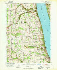
1950 Map of Reading Center
USGS Topo · Published 1969About this map
The western shores of Seneca Lake define this mid-century portrait of Schuyler County, where the steep lakeside terrain is punctuated by numerous points such as Glenora Point and Fir Tree Point. The landscape reflects a diverse transportation history, dominated by the parallel routes of the Pennsylvania and New York Central railroads as they navigate the ridges and ravines. At the southern edge, the village of Watkins Glen sits at the foot of the lake, while smaller inland hamlets like Reading Center and Rock Stream serve as local hubs for the surrounding agricultural community.
Find a feature on this map
62 named features on this map. Tap any name to fly to it.
Don’t see what you’re looking for? This feature index may not catch every label — zoom into the map to look around manually.
Map Details
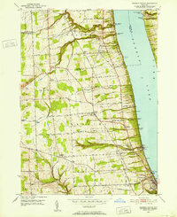
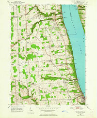
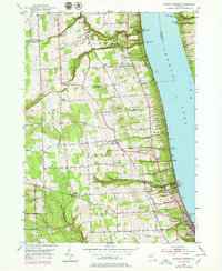
Editions of this 1950 Reading Center Map
4 editions found
Other maps of this area

1898 · Watkins Glen
USGS Topo · 1:62,500

1901 · Watkins
USGS Topo · 1:62,500

1902 · Ovid
USGS Topo · 1:62,500

1903 · Penn Yan
USGS Topo · 1:62,500

1903 · Hammondsport
USGS Topo · 1:62,500

1905 · Watkins Glen
USGS Topo · 1:125,000

1942 · Dundee
USGS Topo · 1:24,000

1942 · Lodi
USGS Topo · 1:24,000

1942 · Keuka Park
USGS Topo · 1:24,000

1943 · Keuka Lake
USGS Topo · 1:31,680