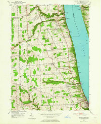
1950 Map of Reading Center
USGS Topo · Published 1969About this map
The western shores of Seneca Lake reveal a mid-century landscape defined by industrial salt extraction and a complex transportation network. Near the southern terminus, Watkins Glen serves as a focal point where the New York Central and Pennsylvania railroads converge, supporting local industry represented by numerous Salt Wells, Brine Tanks, and the distinctive Salt Pt. The shoreline is punctuated by local landmarks like Fir Tree Point and Glenora Point, while the upland terrain features a grid of family-named roads such as Caywood Road and John Roberts Road. Small rural hubs including Reading Center and Rock Stream illustrate the settlement patterns of Schuyler County before modern expansion, with preserved locations like Rock Stream Cem and County Line Cem providing essential data for genealogical research.
Find a feature on this map
67 named features on this map. Tap any name to fly to it.
Don’t see what you’re looking for? This feature index may not catch every label — zoom into the map to look around manually.
Map Details
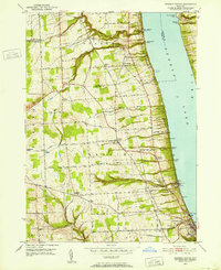
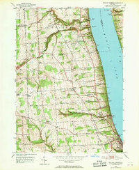
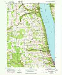
Editions of this 1950 Reading Center Map
4 editions found
Other maps of this area

1898 · Watkins Glen
USGS Topo · 1:62,500

1901 · Watkins
USGS Topo · 1:62,500

1902 · Ovid
USGS Topo · 1:62,500

1903 · Penn Yan
USGS Topo · 1:62,500

1903 · Hammondsport
USGS Topo · 1:62,500

1905 · Watkins Glen
USGS Topo · 1:125,000

1942 · Dundee
USGS Topo · 1:24,000

1942 · Lodi
USGS Topo · 1:24,000

1942 · Keuka Park
USGS Topo · 1:24,000

1943 · Keuka Lake
USGS Topo · 1:31,680