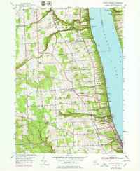
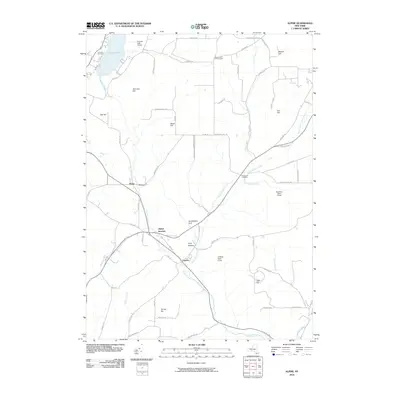
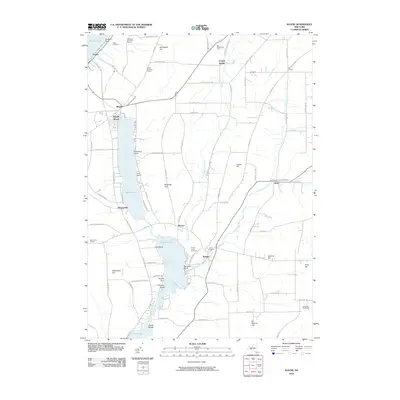
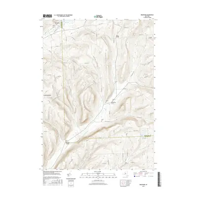
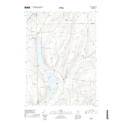
1969 Map of Alpine
USGS Topo · Published 1988About this map
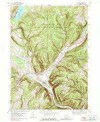
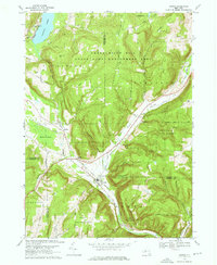
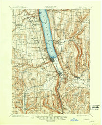
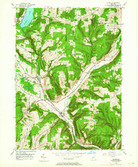
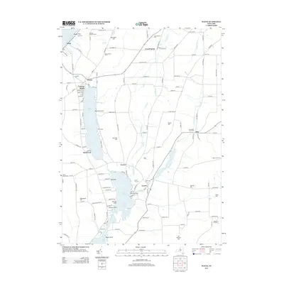
Connecticut Hill State Game Management Area and the surrounding state forests dominate this landscape at the intersection of Schuyler, Tompkins, and Chemung counties. The topography is defined by significant elevations like VanLone Hill and deep drainage cuts such as Hendershot Gulf and Pony Hollow Creek. The settlement pattern follows the valley floors, where the Lehigh Valley railroad line links Alpine and Cayuta.
Find a feature on this map
43 named features on this map. Tap any name to fly to it.
Don’t see what you’re looking for? This feature index may not catch every label — zoom into the map to look around manually.
Map Details
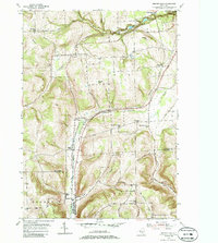
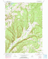
Editions of this 1969 Alpine Map
3 editions found

Historical Maps of Newfield Through Time
32 maps found
1901 Watkins
Schuyler County, NY
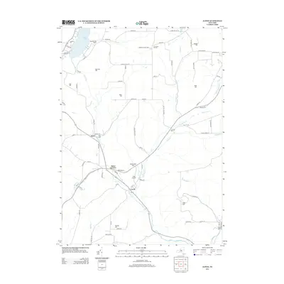
1950 Alpine
Schuyler County, NY
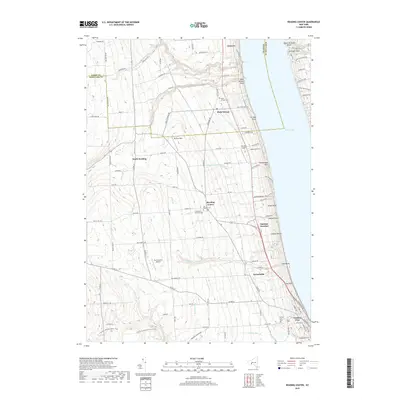
1950 Reading Center
Schuyler County, NY
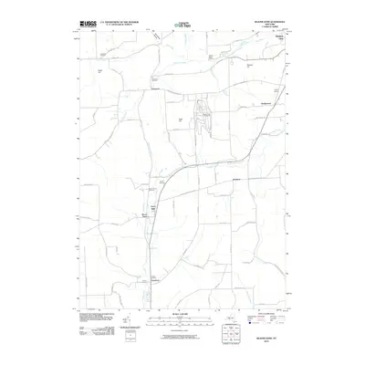
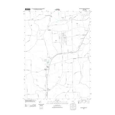
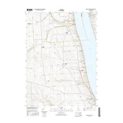
1953 Beaver Dams
Schuyler County, NY
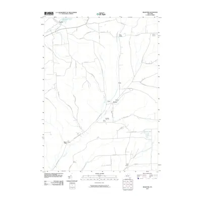
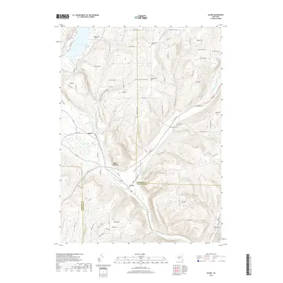
1953 Bradford
Schuyler County, NY
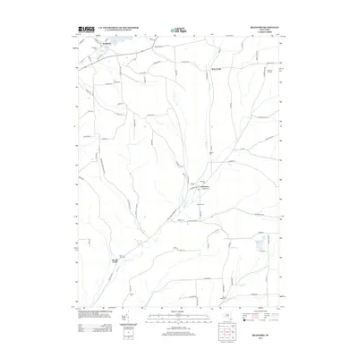
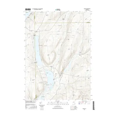
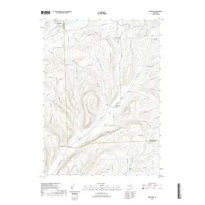
1953 Wayne
Schuyler County, NY
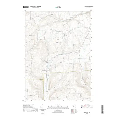
1969 Alpine
Schuyler County, NY
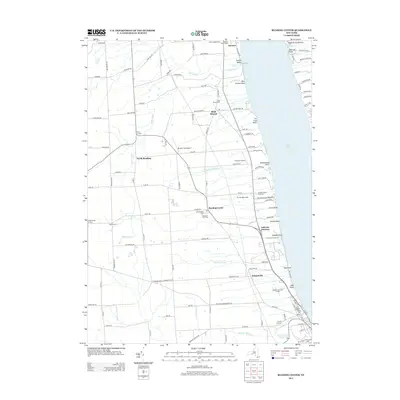
2010 Alpine
Schuyler County, NY
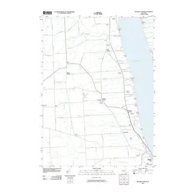
2010 Beaver Dams
Schuyler County, NY
2010 Bradford
Schuyler County, NY
2010 Reading Center
Schuyler County, NY
2010 Wayne
Schuyler County, NY
2013 Alpine
Schuyler County, NY
2013 Beaver Dams
Schuyler County, NY
2013 Bradford
Schuyler County, NY
2013 Reading Center
Schuyler County, NY
2013 Wayne
Schuyler County, NY
2016 Alpine
Schuyler County, NY
2016 Beaver Dams
Schuyler County, NY
2016 Bradford
Schuyler County, NY
2016 Reading Center
Schuyler County, NY
2016 Wayne
Schuyler County, NY
2019 Alpine
Schuyler County, NY
2019 Beaver Dams
Schuyler County, NY
2019 Bradford
Schuyler County, NY
2019 Reading Center
Schuyler County, NY
2019 Wayne
Schuyler County, NY

2023 Alpine
Schuyler County, NY

2023 Beaver Dams
Schuyler County, NY

2023 Bradford
Schuyler County, NY

2023 Reading Center
Schuyler County, NY

2023 Wayne
Schuyler County, NY