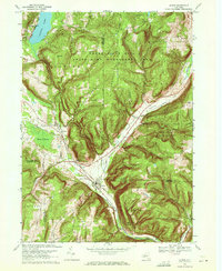
1969 Map of Alpine
USGS Topo · Published 1971About this map
Cayuta Lake and the surrounding hills of the Southern Tier are documented here in 1969, showing a landscape defined by state-managed lands and early transportation corridors. The Lehigh Valley railroad cuts through the terrain, passing through the hamlets of Alpine and Alpine Junction, where the tracks flank the eastern edge of Hinman Swamp. This era of the late 1960s shows the extensive footprint of public conservation efforts, with the Connecticut Hill State Game Management Area and Newfield State Forest covering much of the high ground around Swan Hill and Bull Hill.
Find a feature on this map
39 named features on this map. Tap any name to fly to it.
Don’t see what you’re looking for? This feature index may not catch every label — zoom into the map to look around manually.
Map Details
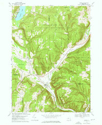
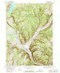
Editions of this 1969 Alpine Map
3 editions found
Other maps of this area

1893 · Ithaca
USGS Topo · 1:62,500

1895 · Ithaca
USGS Topo · 1:62,500

1895 · Elmira
USGS Topo · 1:62,500

1898 · Watkins Glen
USGS Topo · 1:62,500

1901 · Watkins
USGS Topo · 1:62,500

1902 · Waverly
USGS Topo · 1:62,500

1905 · Watkins Glen
USGS Topo · 1:125,000

1949 · Ithaca West
USGS Topo · 1:24,000

1950 · Elmira
USGS Topo · 1:250,000

1950 · Alpine
USGS Topo · 1:24,000