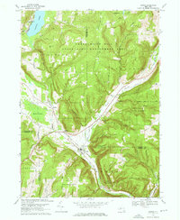
1969 Map of Alpine
USGS Topo · Published 1976About this map
The Lehigh Valley railroad corridor anchors this survey of the northern Susquehanna River watershed, where the tracks thread a narrow valley between steep hills and managed woodlands. High-elevation landmarks like Connecticut Hill and Oak Hill define the rugged topography of the Finger Lakes region, while the low-lying Hinman Swamp and the southern tip of Cayuta Lake dominate the northern portion of the quadrangle.
Find a feature on this map
59 named features on this map. Tap any name to fly to it.
Don’t see what you’re looking for? This feature index may not catch every label — zoom into the map to look around manually.
Map Details
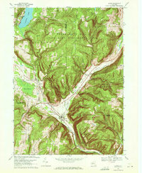
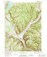
Editions of this 1969 Alpine Map
3 editions found
Other maps of this area

1893 · Ithaca
USGS Topo · 1:62,500

1895 · Ithaca
USGS Topo · 1:62,500

1895 · Elmira
USGS Topo · 1:62,500

1898 · Watkins Glen
USGS Topo · 1:62,500

1901 · Watkins
USGS Topo · 1:62,500

1902 · Waverly
USGS Topo · 1:62,500

1905 · Watkins Glen
USGS Topo · 1:125,000

1949 · Ithaca West
USGS Topo · 1:24,000

1950 · Elmira
USGS Topo · 1:250,000

1950 · Alpine
USGS Topo · 1:24,000