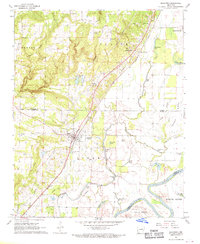
1968 Map of Bradford
USGS Topo · Published 1970About this map
Bradford serves as a central hub on this late-1960s survey, positioned where the Missouri Pacific railroad cuts through the landscape. The map captures a transition between the elevated terrain of Barren Glaize and the low-lying wetlands of the White River bottomlands. The settlement pattern follows the rail line and the base of the ridges, including the established communities of Coffeeville, Grand Glaise, and the uniquely named Possum Grape. Genealogists will find several family-named burial grounds throughout the area, such as McKnight Cem, Scantlin Cem, and Carter Cem, alongside local landmarks like Oakland Ch. The landscape is defined by its water features, ranging from the winding Departée Creek to numerous sloughs and ponds like Grinnell Pond and Hopspinike Lake, which reflect the region's complex hydrology and river-driven history.
Find a feature on this map
48 named features on this map. Tap any name to fly to it.
Don’t see what you’re looking for? This feature index may not catch every label — zoom into the map to look around manually.
Map Details
Editions of this 1968 Bradford Map
2 editions found
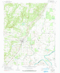
Other maps of this area

1890 · Batesville
USGS Topo · 1:125,000

1891 · Batesville
USGS Topo · 1:125,000

1935 · Newport
USGS Topo · 1:62,500

1935 · Augusta
USGS Topo · 1:62,500

1935 · Bald Knob
USGS Topo · 1:62,500

1953 · Memphis
USGS Topo · 1:250,000

1956 · Memphis
USGS Topo · 1:250,000

1957 · Augusta
USGS Topo · 1:62,500
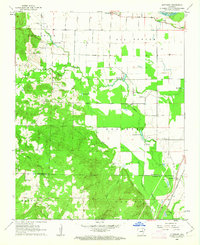
1962 · Olyphant
USGS Topo · 1:24,000

1962 · Newport
USGS Topo · 1:24,000