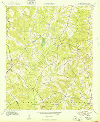
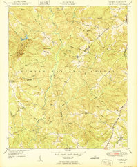
1950 Map of Bradley
USGS Topo · Published 1950About this map
The Charleston and Western Carolina railroad cuts through the western portion of this mid-century landscape, connecting the small rail settlements of Verdery and Bradley. This area of the Sumter National Forest is defined by a dense network of tributaries including Hard Labor Creek, Big Cowhead Creek, and Beaverdam Creek. The map provides a detailed view of rural life in Greenwood and McCormick Counties, recording numerous small community hubs such as Whitehall and Callison.
Find a feature on this map
34 named features on this map. Tap any name to fly to it.
Don’t see what you’re looking for? This feature index may not catch every label — zoom into the map to look around manually.
Map Details
Editions of this 1950 Bradley Map
2 editions found
Other maps of this area

1892 · Mc Cormick
USGS Topo · 1:125,000

1892 · Abbeville
USGS Topo · 1:125,000
1908 · Kirksey
USGS Topo · 1:24,000

1912 · Mc Cormick
USGS Topo · 1:125,000
1948 · Abbeville East
USGS Topo · 1:24,000
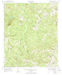
1948 · Verdery
USGS Topo · 1:24,000
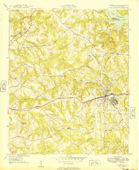
1949 · Ninety-Six
USGS Topo · 1:24,000
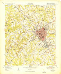
1949 · Greenwood
USGS Topo · 1:24,000
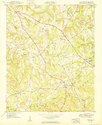
1950 · Kirksey
USGS Topo · 1:24,000
1950 · Verdery
USGS Topo · 1:24,000