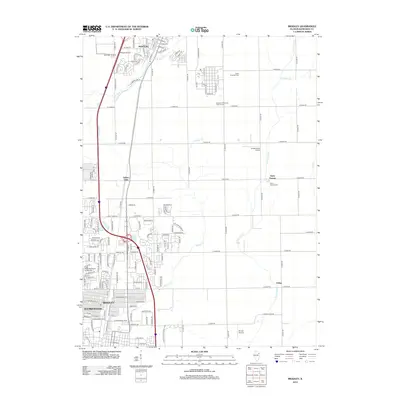
2012 Map of Bradley
USGS Topo · Published 2012About this map
Bradley and Bourbonnais anchor this suburban and agricultural landscape south of Chicago during the early 2010s. The map illustrates a dense network of residential streets and institutional centers, most notably the campus of Olivet Nazarene University. North of the main settlements, the land opens into a grid of section roads punctuated by smaller communities like Indian Oaks and Saint George. Several small airfields, including Phipps Airport and Spangler Airport, are situated near Manteno, reflecting the region's historical aviation footprint. Waterways like Soldier Creek and the Exline Slough meander across the eastern plains, while the State Hospital Cem and Saint George Cem provide important reference points for local genealogists and historians tracking the development of Kankakee County.
Find a feature on this map
54 named features on this map. Tap any name to fly to it.
Don’t see what you’re looking for? This feature index may not catch every label — zoom into the map to look around manually.
Map Details
Editions of this 2012 Bradley Map
This is the sole edition of this map. No revisions or reprints were ever made.
Other maps of this area

1922 · Momence
USGS Topo · 1:62,500

1922 · Kankakee
USGS Topo · 1:62,500

1924 · Momence
USGS Topo · 1:62,500

1924 · Kankakee
USGS Topo · 1:62,500

1949 · Peotone
USGS Topo · 1:62,500

1949 · Crete
USGS Topo · 1:62,500

1953 · Beecher West
USGS Topo · 1:24,000

1953 · Peotone
USGS Topo · 1:24,000

1953 · Wilton Center
USGS Topo · 1:24,000

1953 · Chicago
USGS Topo · 1:250,000