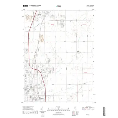
2018 Map of Bradley
USGS Topo · Published 2018About this map
Bradley and its neighboring communities north of the Kankakee River are mapped here during a period of sustained suburban and commercial growth. The landscape is characterized by the encroaching residential developments of Bourbonnais and the northern reaches of Kankakee, contrasting with the more traditional rural patterns found near Saint George and Exline. Education and institutional history are prominent, with the sprawling campus of Olivet Nazarene Univ and the State Hospital Cem established on the northern outskirts. Smaller airfields like Spangler Airport and Sunset Acres Airport dot the terrain, while local waterways such as Soldier Cr and Exline Slough wind through the remaining open fields, illustrating the geography of the Kankakee River valley before the further expansion of the late 20th century.
Find a feature on this map
49 named features on this map. Tap any name to fly to it.
Don’t see what you’re looking for? This feature index may not catch every label — zoom into the map to look around manually.
Map Details
Editions of this 2018 Bradley Map
This is the sole edition of this map. No revisions or reprints were ever made.
Other maps of this area

1922 · Momence
USGS Topo · 1:62,500

1922 · Kankakee
USGS Topo · 1:62,500

1924 · Momence
USGS Topo · 1:62,500

1924 · Kankakee
USGS Topo · 1:62,500

1949 · Peotone
USGS Topo · 1:62,500

1949 · Crete
USGS Topo · 1:62,500

1953 · Beecher West
USGS Topo · 1:24,000

1953 · Peotone
USGS Topo · 1:24,000

1953 · Wilton Center
USGS Topo · 1:24,000

1953 · Chicago
USGS Topo · 1:250,000