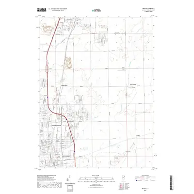
2021 Map of Bradley
USGS Topo · Published 2021About this map
Kankakee and its northern neighbors anchor this landscape, reflecting the intensive development and suburban expansion within Kankakee County. The urban centers of Bradley and Bourbonnais are densely platted, featuring institutions like Olivet Nazarene University and the Trend Setters College of Cosmetology. The map illustrates a clear transition from these industrial and residential hubs into the surrounding agrarian reaches, where the grid of county roads connects outlying settlements such as Saint George and Exline.
Find a feature on this map
51 named features on this map. Tap any name to fly to it.
Don’t see what you’re looking for? This feature index may not catch every label — zoom into the map to look around manually.
Map Details
Editions of this 2021 Bradley Map
This is the sole edition of this map. No revisions or reprints were ever made.
Other maps of this area

1922 · Momence
USGS Topo · 1:62,500

1922 · Kankakee
USGS Topo · 1:62,500

1924 · Momence
USGS Topo · 1:62,500

1924 · Kankakee
USGS Topo · 1:62,500

1949 · Peotone
USGS Topo · 1:62,500

1949 · Crete
USGS Topo · 1:62,500

1953 · Beecher West
USGS Topo · 1:24,000

1953 · Peotone
USGS Topo · 1:24,000

1953 · Wilton Center
USGS Topo · 1:24,000

1953 · Chicago
USGS Topo · 1:250,000