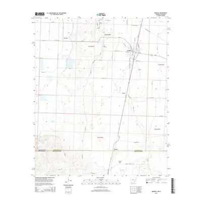
2014 Map of Bradley
USGS Topo · Published 2014About this map
The town of Bradley serves as a central hub in the Red River Valley just north of the Louisiana border, defined by its grid of streets such as Arkana St and N Express Ave. This corner of Lafayette County exhibits a landscape shaped by both agriculture and industry, with the Arkana Oil and Gas Field sitting on the state line near the settlement of Arkana. The region's history is preserved in several burial sites including Walnut Hill Cem, Saint Mary Cem, and Bradley Cem, which serve as vital landmarks for genealogists.
Find a feature on this map
72 named features on this map. Tap any name to fly to it.
Don’t see what you’re looking for? This feature index may not catch every label — zoom into the map to look around manually.
Map Details
Editions of this 2014 Bradley Map
This is the sole edition of this map. No revisions or reprints were ever made.
Other maps of this area

1932 · Hosston NE
USGS Topo · 1:31,680

1948 · Vivian
USGS Topo · 1:62,500

1950 · Plain Dealing NE
USGS Topo · 1:31,680

1950 · Plain Dealing NW
USGS Topo · 1:31,680

1952 · Doddridge SE
USGS Topo · 1:24,000

1952 · Bradley
USGS Topo · 1:24,000

1952 · Bradley NE
USGS Topo · 1:24,000

1952 · Doddridge NE
USGS Topo · 1:24,000

1952 · Canfield
USGS Topo · 1:24,000

1952 · Bradley SE
USGS Topo · 1:24,000