Loading...
Loading map...2024 Map of Bradley
USGS Topo · Published 2024About this map
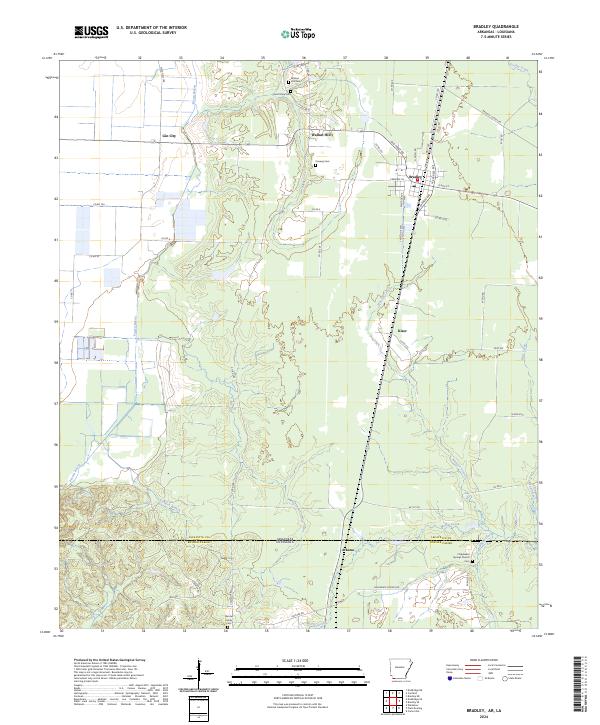
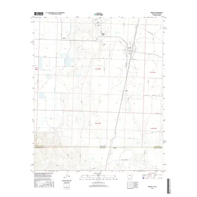
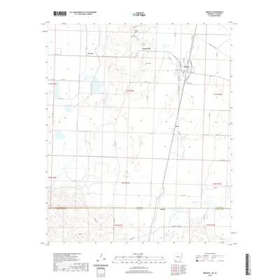
Bradley serves as a central hub in this corner of Lafayette County, where the town grid is defined by S Express Ave and 13 E 4th St. The landscape transitions from the agricultural flats near Gin City and Walnut Hill in the north toward the marshy drainage systems of Posten Bayou and Wheeler Creek. A distinct boundary line marks the state border between Arkansas and Louisiana, separating Lafayette County and Bossier Parish.
Find a feature on this map
66 named features on this map. Tap any name to fly to it.
Don’t see what you’re looking for? This feature index may not catch every label — zoom into the map to look around manually.
Map Details
Date Portrayed2024
Date Published2024
PublisherU.S. Geological Survey
Map TypeTopographic
Scale1:24,000
Physical Dimensions24 x 29 inches
Editions of this 2024 Bradley Map
This is the sole edition of this map. No revisions or reprints were ever made.
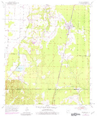
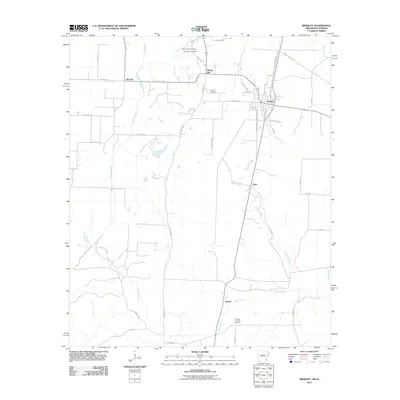
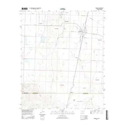
Historical Maps of Bradley Through Time
6 maps found
Featured Locations
Source Details
SourceU.S. Geological Survey
CopyrightPublic Domain